Working, Living & Travelling In Ireland

Tag: Gort’s mini-greenway

  • Cycle Trail from Thoor Ballylee to Gort River Walk

    Cycle Trail from Thoor Ballylee to Gort River Walk

    Looking for a looped cycle in the Burren Lowlands?

    Itching to get onto your bike? Let me show you a looped cycle trail I recently discovered from Thoor Ballylee to the Gort River Walk( under development)

    Join my Facebook Group Gort Cycling Trails and let me know if you cycled this trail, what you thought about it, and if there are other cycle trails that should be mapped in the #burrenlowlands

    The total distance of this cycle is just under 20 km. If you are only cycling from Thoor Ballylee to Gort, it’s 4 km. I would allow up to half a day to really take your time! Have a picnic at Thoor Ballylee, have a rest at the River Walk, Walk around Gort( and visit Kiltartan Gregory Museum when it reopens.)Things to bring: snacks, breakfast or lunch, water, charged mobile and don’t forget to apply suntan lotion and wear high viz jackets. Switch on your bike lights if the weather is not so nice. If you are cycling on your own, let someone know where you are heading.

    Thoor Ballylee’s History

    To learn more about Thoor Ballylee and the link with the Irish poet Yeats and the dramatist Lady Gregory, click on this link. *****Please note – Thoor Ballylee is currently closed due to COVID-19 Check their Website/Facebook page for the latest updates!****

    I should probably say re-discovered as this trail is an age-old trail that people used to travel on by foot and bike from Gort to Ballyanneene, Rinerush, and possible also Peterswell, where I live.

    Route description from Thoor Ballylee to the Gort River Walk

    I recommend you start from Thoor Ballylee (or anywhere on the Skehanagh side) to have the least amount of hills. If on the other side you are looking for a heart-pumping exercise, do the cycle anti-clockwise:) You’ll definitely sleep well 🙂
    Check out this Google Map showing you the looped cycle.

    From Skehanagh to Thoor Ballylee

    Intro to the Cycle from Skehanagh to Thoor Ballylee to the Gort River Walk

    The first video brings you from Skehanagh to Thoor Ballylee. There is one hill to climb before you get to the top of the Road- I had to get off the bike as I was also holding my camera( note to self – must find a way to mount my phone). What goes up, has to come down, so you’ll see in the latter part the downhill cycle to Thoor Ballylee – bliss:)

    Once you have arrived at the castle, lock up your bike(s) in the cark park and go for a stroll to the watermill to the right.

    Thoor Ballylee form the Pic Nic Area

    Explore the watermill at Thoor Ballylee

    https://youtu.be/LzkOfOtEgZY
    Water Mill at Thoor Ballylee

    There are big plans to restore the watermill. Why not take a seat in the picnic area in front of Thoor Ballylee and enjoy breakfast or lunch on the picnic tables or the grass. It’s quite magical.


    Thoor Ballylee to Gort River Walk Cycle trail

    Next video and pictures show most of the journey from Thoor Ballylee to the end of the road.

    Cycle from Thoor Ballylee to the top of the Gort River Walk

    The cycle trail from Thoor Ballylee to the Gort River Walk is very straightforward. Leaving Thoor Ballylee to your right, cycle all the way till you come to a crossroads where you take a left.
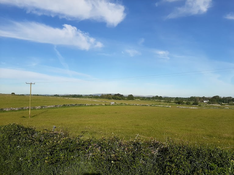
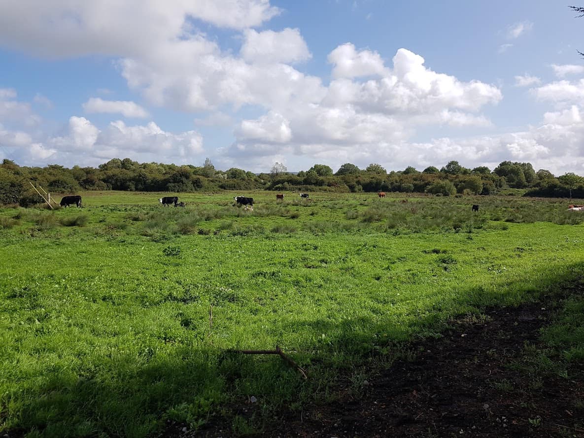
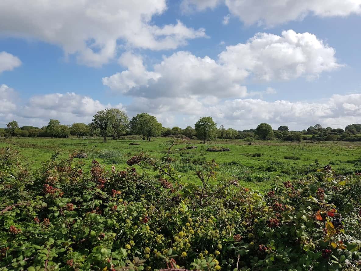
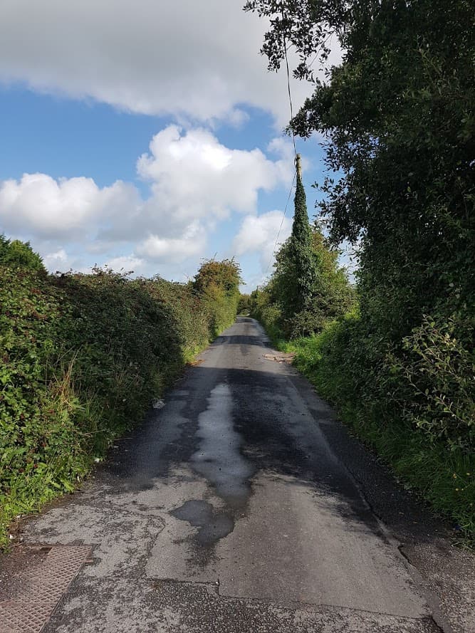
    Country views on the Cycle from Thoor Ballylee to the Gort River Walk
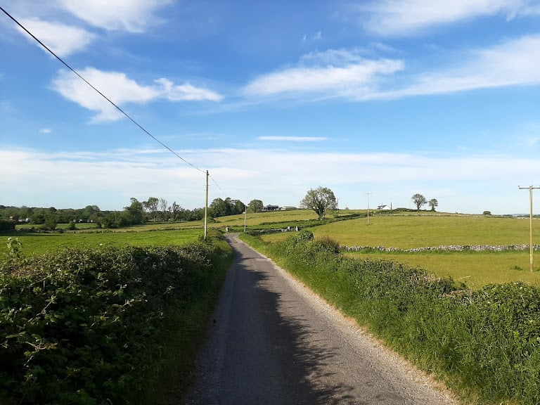
    Country views on the Cycle from Thoor Ballylee to the Gort River Walk

    Country views on the Cycle from Thoor Ballylee to the Gort River Walk

    At some point you’ll see a fork to the right. If you look very closely, there is an existing cycle trail called “Finding Yeats”. This cycle trail was mapped by the Burrenlowlands from Gort, sponsored by Sullivans Hotel on the square in Gort. I’ll have to write another blog article about that cycle.

    Take a left to go to the Gort River Walk

    Cycle for approximately 1 km and you’ll see a yellow bungalow to your left ( It’s a downhill road so you are picking up some speed). Across from that yellow bungalow you’ll see a narrow road/boreen to your right. If you are a local , this is the top of the Pound Road. This road ultimately brings you to the back of Gort.

    Railway Bridge

    Once you take a right, it’s a straight road that brings you to a railway bridge.
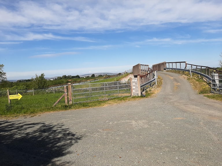
    Railway Bridge

    Once you cross the railway bridge, it’s a downhill cycle, and the road surface changes to a loose stone surface.
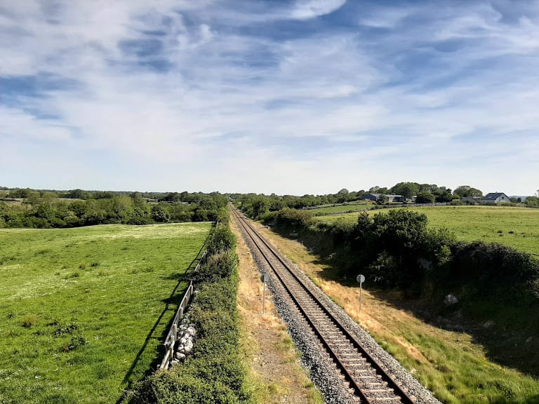
    View over the railway track

    You’ll see a ruin of a farmhouse to your right, and as the road takes a slight bend to the left you will have arrived at the top of Gort River Walk.

    As you cycle down there is a gate, sometimes it’s open, sometimes it’s closed. If it’s closed, make sure when you open it to get through, you close it off.

    If you look to your right, you may be lucky to see a swan family. When I was there, there was a swan family there with cygnets.
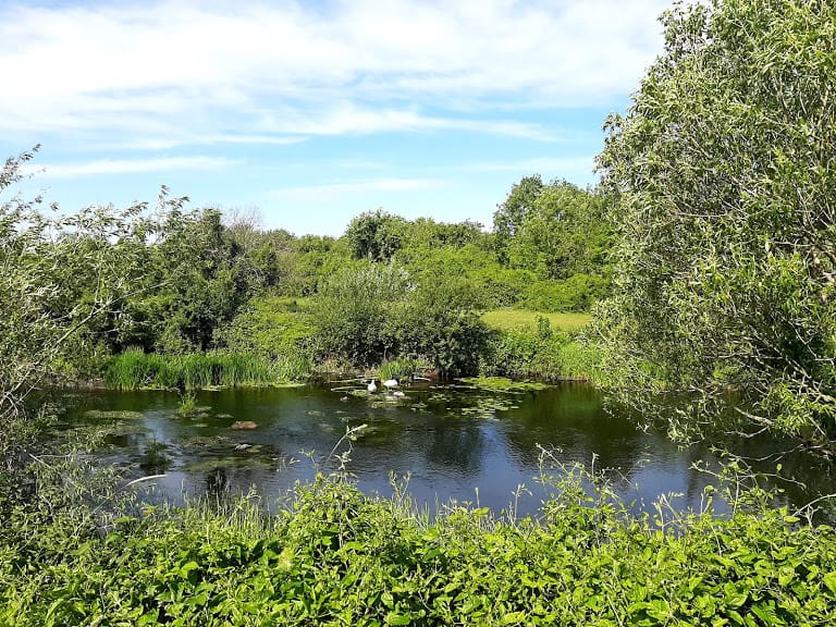
    Swans with their Cygnets

    If you look a little bit further down to your right, you’ll see the remains of a bridge. DO NOT ATTEMPT to go there or cross the bridge as it is not safe. The Gort River Walk has big plans to replace this bridge with a new bridge, follow their Facebook page to find out more.
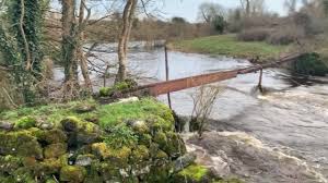
    Lavally Bridge

    Lavallysheen Children’s burial ground

    Look to your left, and you will see the Lavallysheen Children’s burial ground. To learn more about the Burial ground, check out this article in Guaire Magazine ( page 64. Since the article was published a group of volunteers have done an amazing job to restore and tidy up the burial ground. It has also enabled relatives to honour and pay tribute to their deceased family members. It’s a truly a sacred place.

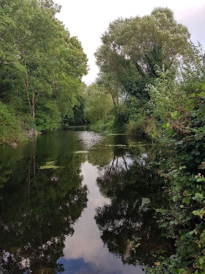
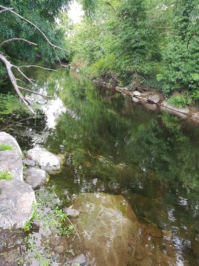
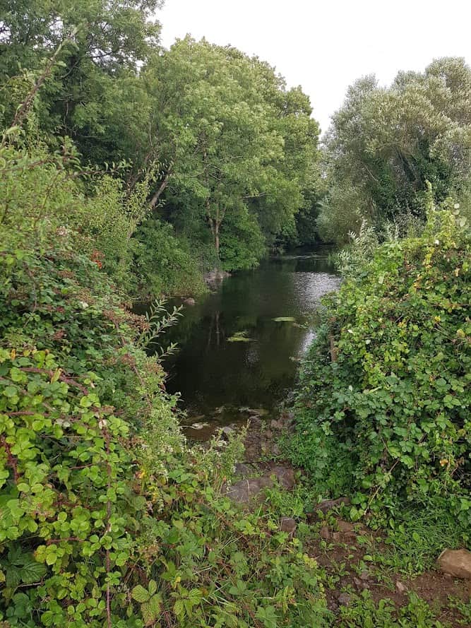
    Continue your journey, leaving the Lavallysheen burial ground to your left, the river to your right. The road surface is a bit bumpy but ok to cycle. It’s only towards the end of the cycle, there are bigger/rougher stones, and it may be better to dismount for a short while. You will now have a beautiful view of the River to your right. ( There are way more and better images, I’ll write another post dedicated to the Gort River Walk)
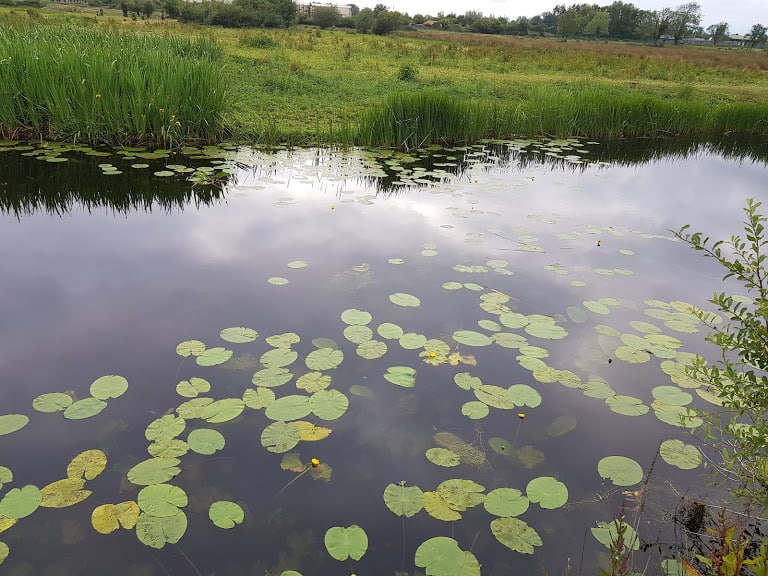
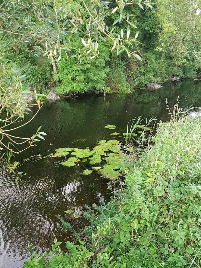
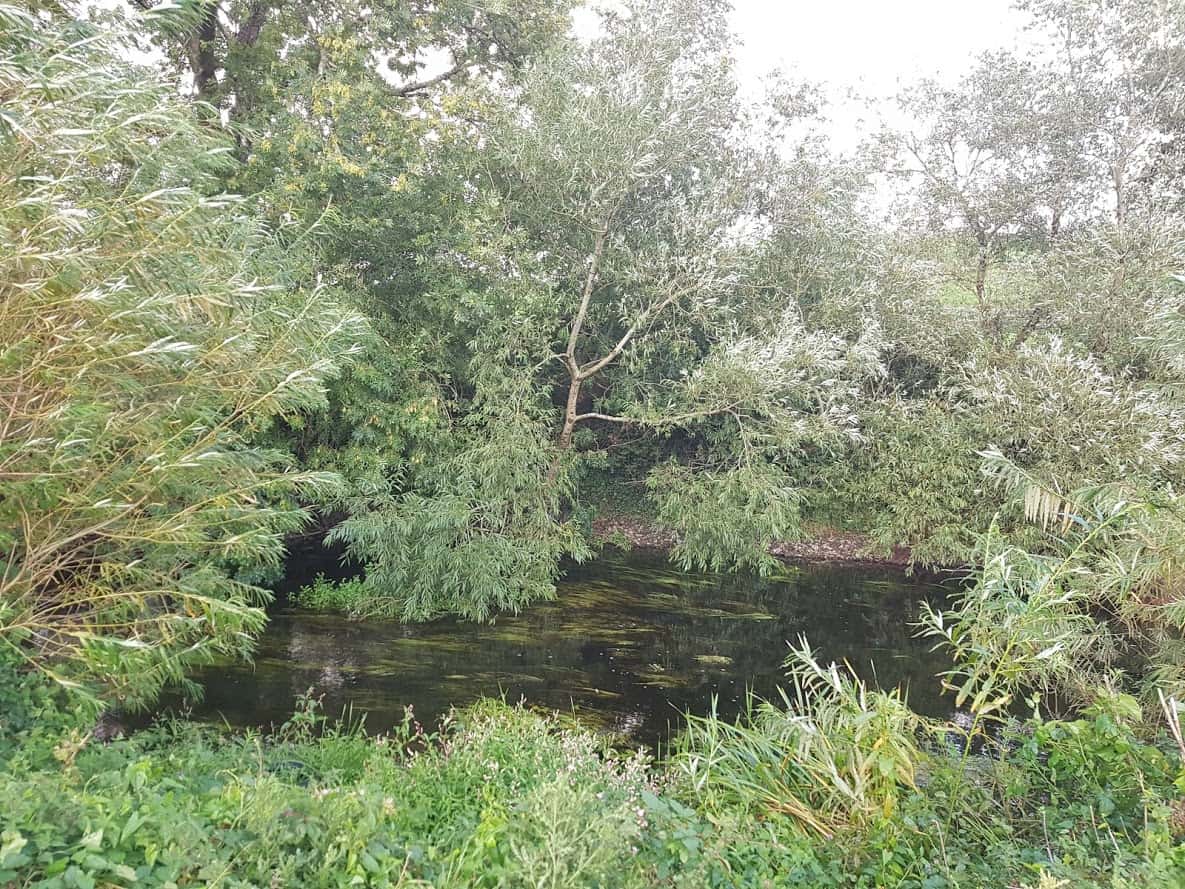
    View over the Gort River

    Gort River Walk

    As I mentioned earlier, there is currently a project in progress by local volunteers to establish a Gort River Walk, find out more about the history here. The Pound Road, once a dumping ground and no go area, has been transformed into a beautiful walking area to be enjoyed by all. Follow Gort River Walk on Facebook and their recent fundraiser – please support if you can.
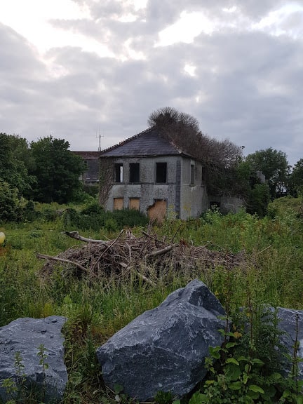
    Flower Vale House

    You’ll now see barriers, you can go around a little place to the right.
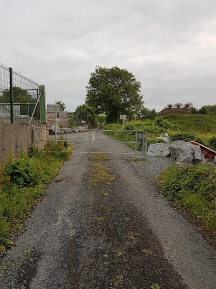
    Gates and passage to the right

    Continuing on to your right, you will see the remains of Flowervale House – home of the once mill owners. This article tells you all about the history of the house and the (tragic) story of how the mill was flattened to the ground. It is also the back of Aldi in Gort and the start of the Gort River Walk.( There are in effect 2 entries, one via the Pound Road and one via the back of Aldi.)

    As you continue your journey, you will see the Gort Railway Station to your left and as you continue you will arrive in the town of Gort. Check out a blogpost I wrote about the Gort Railway Station last year, when it was 150 years since it first opened.
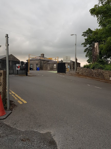
    Gort Railway Station

    This may be the end of your trip . Pop into Centra for ice cream or continue on the loop and take a right at the roundabout to head back OR you can take a left and go onto Gort’s mini -Greenway into Coole Park I documented a while back.
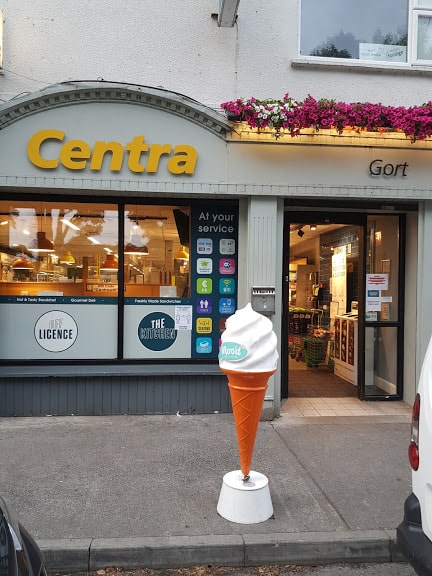
    Icecream at Centra in Gort

    Kiltartan Gregory Museum

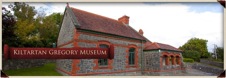
    If you are heading back, it’s an easy ride, passing entry into Coole Park. Further down is a nice downhill cycle at Kiltartan. You’ll see a red brick building onto your left, which is the Kiltartan Gregory Museum. It’s currently closed , due to COVID-19. Keep an eye on their Facebook Page to find out when they re-open.

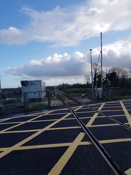
    Next you will pass the railway crossing at Kiltartan, and as you cycle you’ll see a sign for Quinn’s hardware store being 5 kms from that point.
    This is the back of the Quinn Sign:) pointing to the Kiltartan Gregory Museum

    Eileen Quinn Memorial plaque

    Across from the sign, you’ll see a farmhouse, with a remembrance stone to Eileen Quinn, who was murdered there on the 1st of November 1920. I strongly recommend you listen to this recently produced documentary about the life of Eileen Quinn and what happened there on the 1st of November. Humbling is an understatement
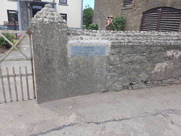
    Eileen Quinn Memorial plaque

    It’s been downhill for most of the way, so it’s time for a bit of climb across from Tannian’s forge. There is a bit of bend in the road, and I always cross the road before the hill, as visibility is limited once you are on the climb.

    Once you have caught your breath, you’ll see Cummins kitchens to your right and signs for Thoor Ballylee. Take a right, enjoy the downhill cycle or take a left and do an extra loop via Shehanagh.

    Back to where I started my cycle

    The road bends to the right, and this is where I started the cycle.

    The road to your left brings you into Skehanagh, where there are few other cycles you can do, I’ll have to write another blog post about the Skehanagh cycle trails.

    As it is summertime, the floods we had earlier in the year, have receded. Learn more about the South Galway floods here.

    Hope you enjoyed this (long) article- look forward to hear if it has inspired you enough to do the Cycle from Thoor Ballylee to the Gort River Walk!

    Join my Facebook Group Gort Cycling Trails and let me know if you cycled this trail, what you thought, and if there are other cycle trails that should be mapped in the #burrenlowlands

    Share and Enjoy !

    Shares
  • Mini- Greenway & Gort’s Golden Mile

    Mini- Greenway & Gort’s Golden Mile

    My last post covered a little treasure in Gort, which I aptly called Gort’s Mini-Greenway. As it happens, this Greenway also connects to Gort’s Golden Mile, making it a loop.. Yes… I think many of you will take note, as who doesn’t like a looped walk/cycle  ( followed by cake I hear you ask?).

    So where is this loop?

    So you follow the instructions from last time here. Instead of turning left to head to Coole Park( for cake: ) ) you turn right, and head over the bridge.

    Out of a practical point of view. I would recommend you first do the Mini-Greenway, as most of it is downhill. However If you are looking to strengthen your quads, best do it anti-clockwise. ( Did you know your quads are your strongest muscles ?)

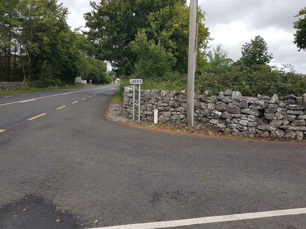
    Once you come to the main road, cross it, and within a short distance you will see an arrow for the L85313 to your left

    Arrow on the main Road


    Arrow on the main Road
    Image of arrow for L85311
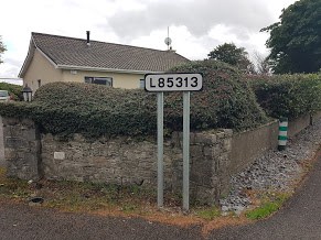
    Arrow for L85313

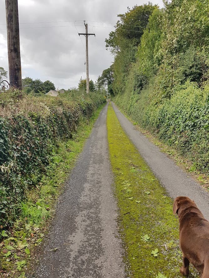
    Take that turn and as you walk down the hill your view will be like this!

    View on the L85313


    L85313 Road ( view as coming from Kinincha)

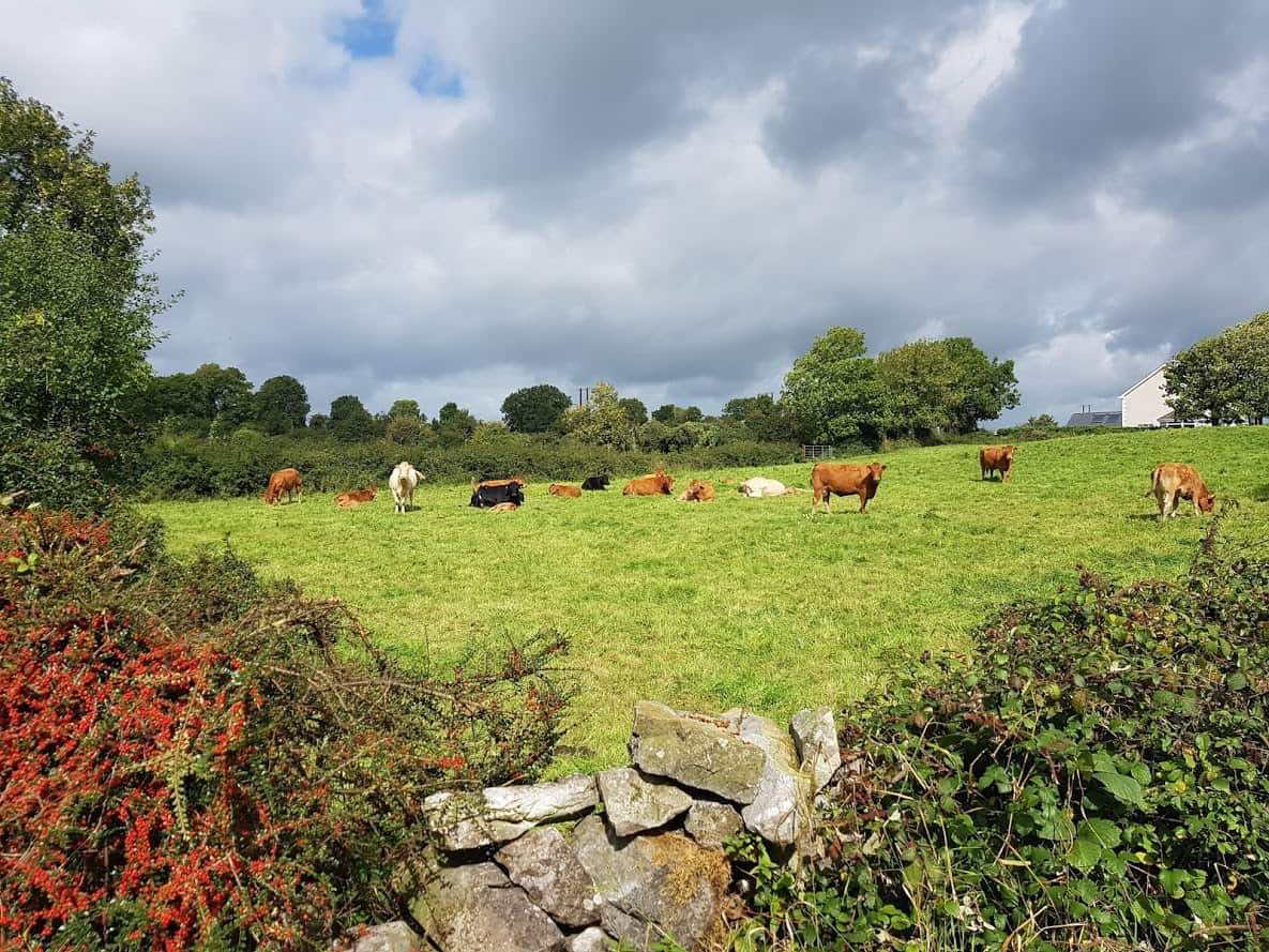
    L85313 grazing cows


    Grazing cows L85313

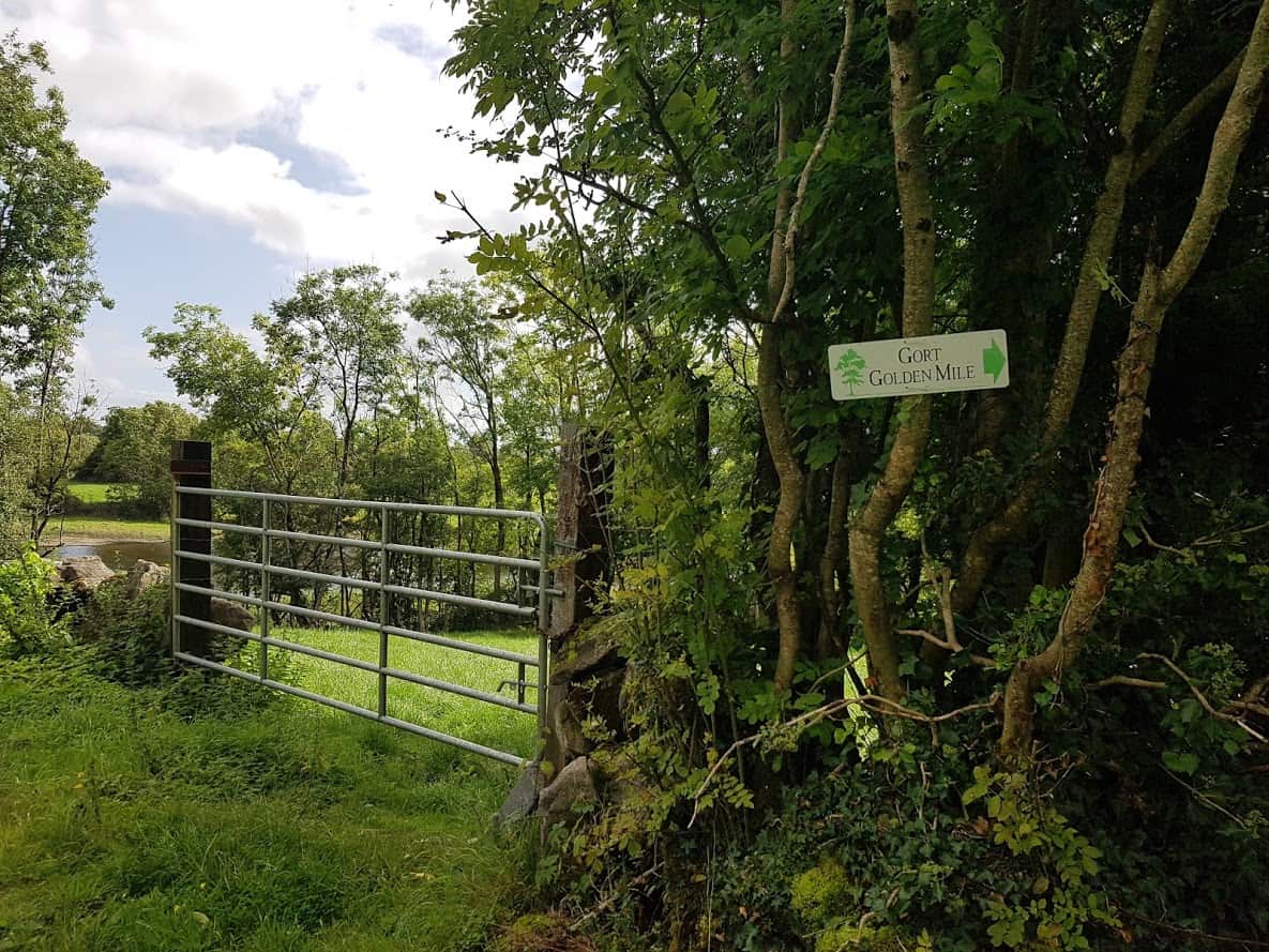
    As you walk on this road, you will see a sign for Gort’s Golden Mile!

    Image of Gort Golden Mile sign

    Gort’s Golden Mile & connection with the mini-greenway

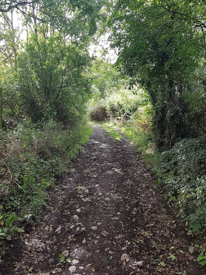
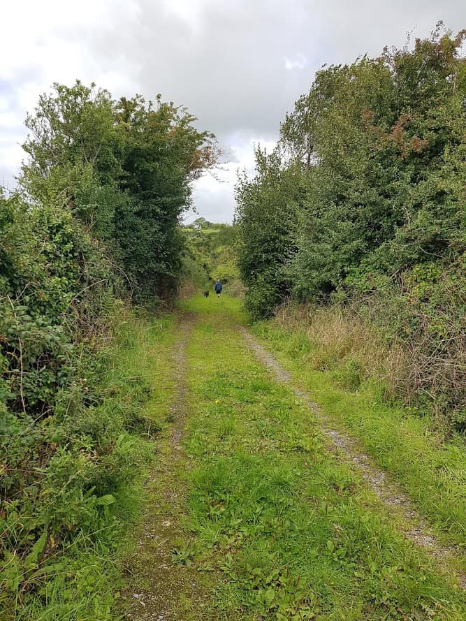
    The road surface changes to a dirt track. If you were on bikes you could cycle, but dismounting your bike for a short while may work better. This track is about a mile and is beautiful as you can see from the pictures below.

    Dirt Track
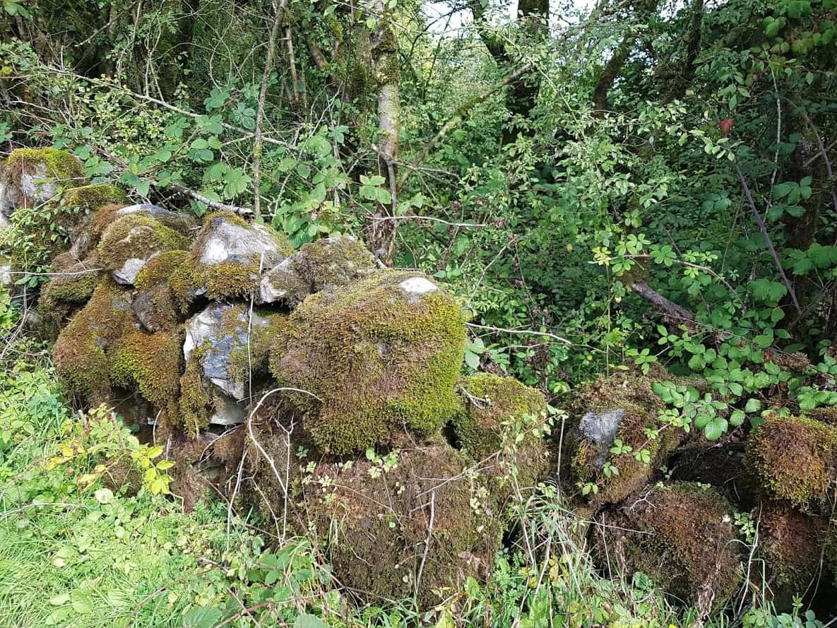
    Stone walls Gort’s Golden Mile
    Gort’s Golden Mile
    Gort’s Golden Mile
    Gort’s Golden Mile( view coming from Kinincha)
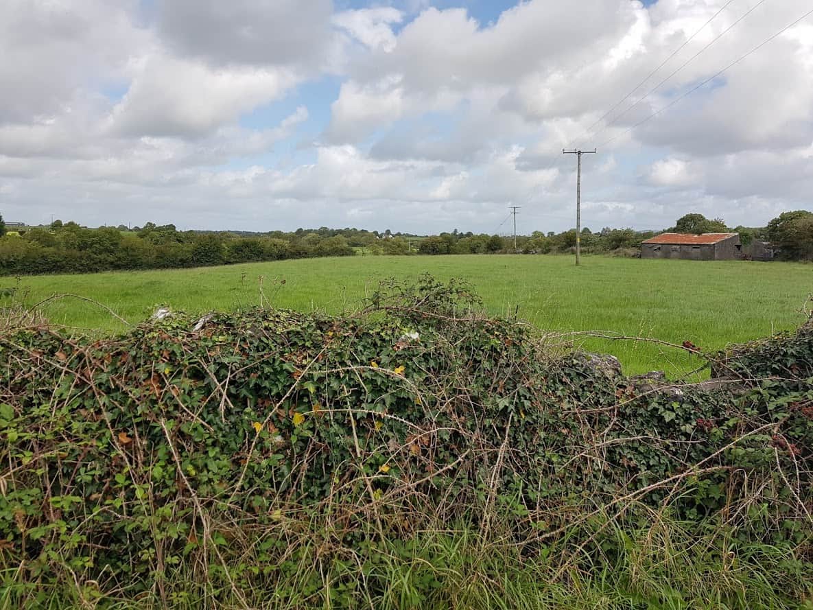
    Fields

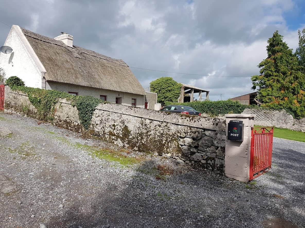
    As your walk progress, you’ll come to the end of the road, with a beautiful thatched cottage on your left.

    Image of a thatched Cottage on Kinincha Road


    Thatched Cottage Kinincha Road

    Stop for a moment and listen, you’ll hear the river flowing ahead of you. It’s currently NOT safe to descend to the river there, but there are (big) plans for a river walk in Gort.


    Gort’s Golden Mile & the river in the back ground.

    The only way to go is right, heading back to Gort, the river flowing to your left.  This road is tarmacked.

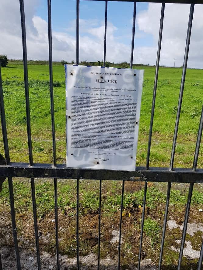
    As you walk on that road, you will find the Planning application for a Gas Bio Plant on your right. To find out more about this Bio Plant, check out a very detailed article on why the location of the proposed site is not suitable.

    Image of Site Notice Gort Bio Gas Plant

    Site Notice Gort Bio Gas Plant
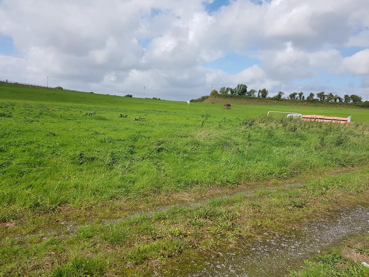
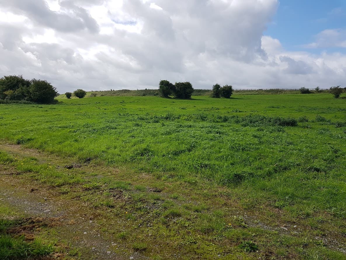
    Proposed site for Bio Gas Plant
    Proposed site for Bio Gas Plant

    You’ll walk past access to farmland on your left, which , if you head that way, brings you to a fence .

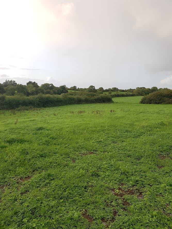
    If you venture past the fence, make sure you close it, as cattle/horses are kept there from time to time, so be careful. Once in the field, if you head straight, you will see/hear the river. I was there not so long ago during a weekly walk of the Kinincha Road and I was taken by its beauty as you can see from the pictures below.


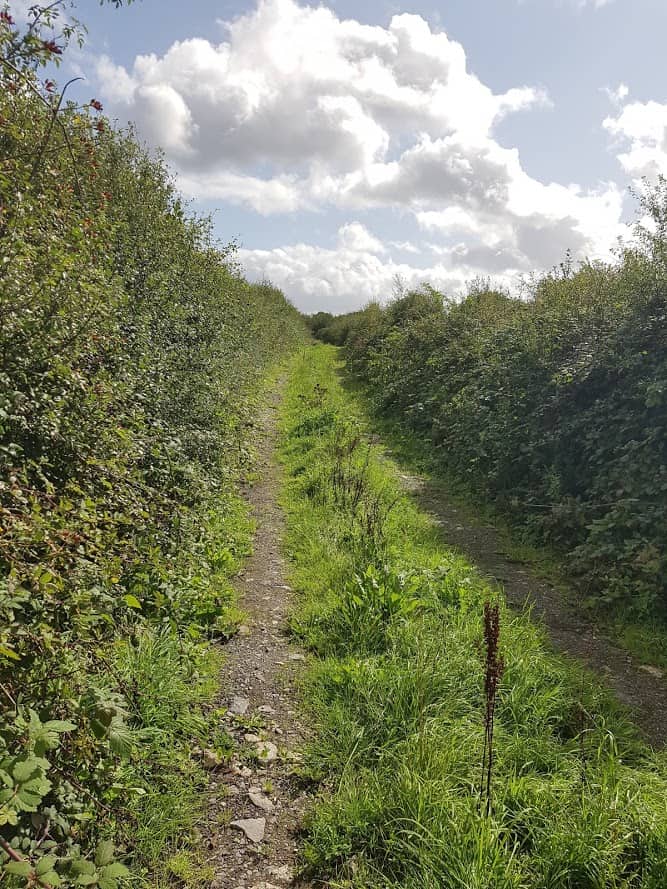
    Track leading to Farm Gate

    Anyway, back to the Kinincha Road:)

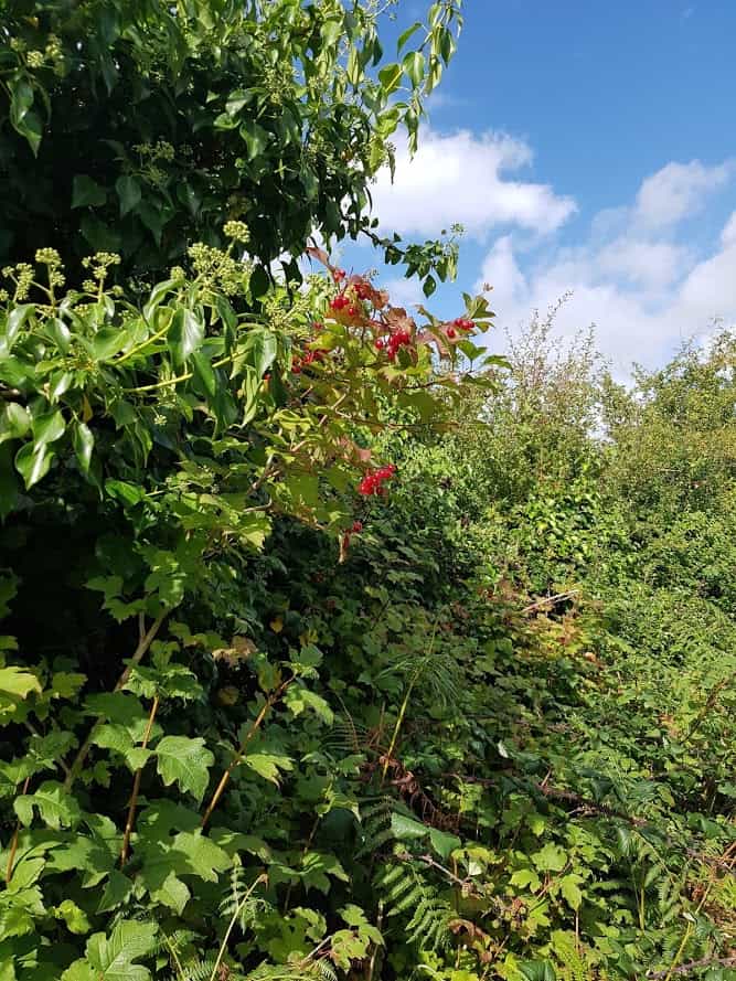
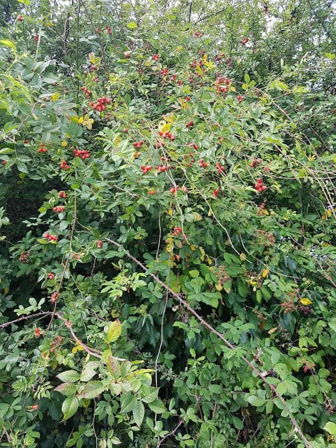
    As I was doing the walk in September, there were blueberries, slow berries, Rosehip and so much more blooming, it was amazing.

    Kinincha Road
    Kinincha Road
    Kinincha Road
    Kinincha Road
    Kinincha Road

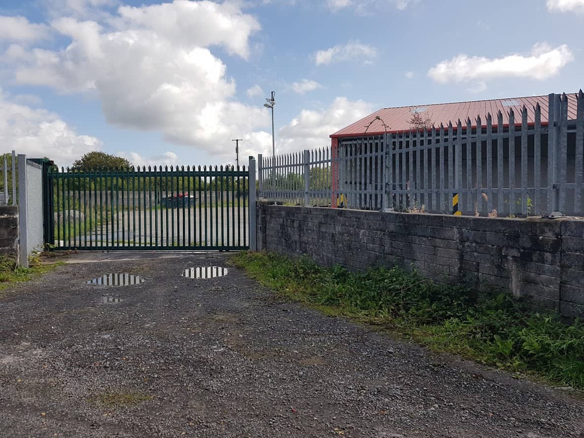
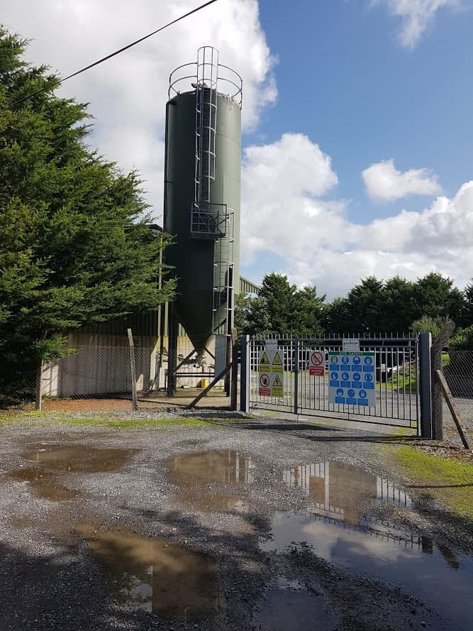
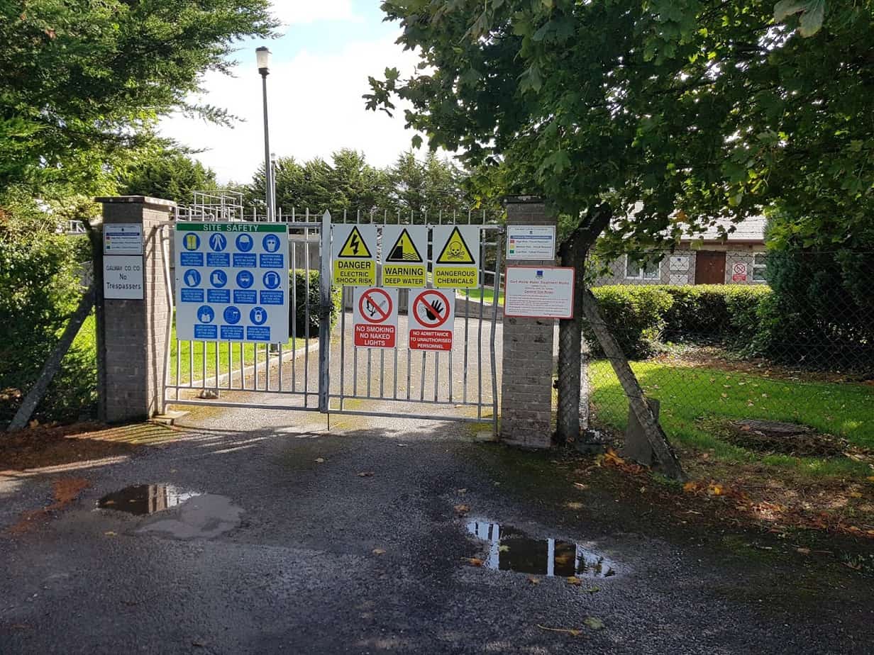
    You will see a plant on the left which I am guessing is some kind of a depot for salt( or something else – I have no idea) and further down the Waste Water recycling plant.

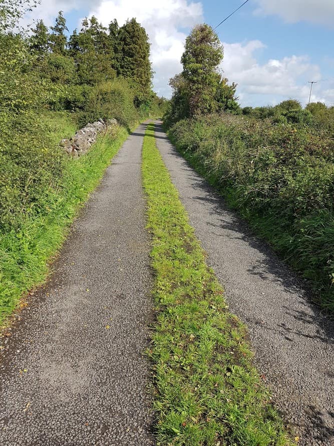
    From then on, for a split moment, you are away from busy Gort and walking on a country road with country views!

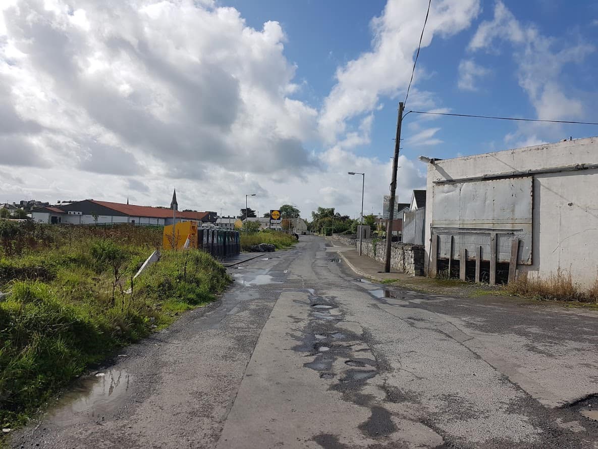
    Once you are the bottle banks, you are nearly back to where you started, the Lidl Car Park. Who knew:) You can then head into Gort for cake:)

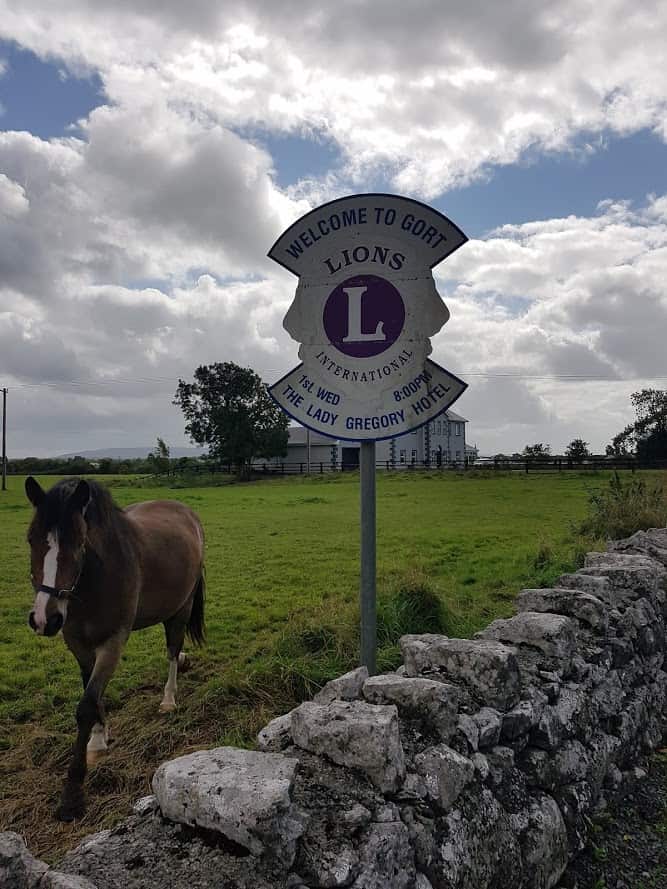
    You could also do a looped walk, starting at Lidl, go straight, take a left at the cottage, go straight, and when you come to the main road, take a left road( you are now on the old main road ) and head back to Gort( which is in fact the walk I did). I took some pictures on my way back to Gort, I particularly liked the horse that comes over to say hello:).  If you do the looped walk, it’s another way of getting your 10 000 steps. The looped walk is just under 5 km.


    Horse

    As a  side note, there is ( unfortunately) still a lot of dumping on the Kinincha Road, and I have passed on the pictures to the council. I am hopeful that, once the council installs proper CCTV, it will stop the dumping.

    Katleen

    PS. Check out below drone video of the walk!


    Drone view of Gort’s Golden mile by David Murray Check out this blog https://southgalwayvision.wordpress.com

    Share and Enjoy !

    Shares
  • Exploring Gort’s mini-greenway

    Exploring Gort’s mini-greenway

    Hello all,

    Did you know Gort has its very own greenway? A friend of mine mentioned there is a safe way to cycle from Gort to Coole Park. This was totally new to me, and until then I had never known about it. So I set out to find out. I have called it Gort’s mini-greenway! Greenways are ever so popular these days, so I am hoping the title of this blog post will trigger enough curiosity for people to explore it. It’s mini, as it’s not very long, but it IS there, ready to be explored. So where is this mini-greenway???

    Join my Facebook Group Gort Cycling Trails and let me know if you cycled or walked any of the trails, what you thought about them, and if there are other cycle trails that should be mapped in the #burrenlowlands 
    For a full list of #SafeCycleTrails  and maps I have mapped so far, click here

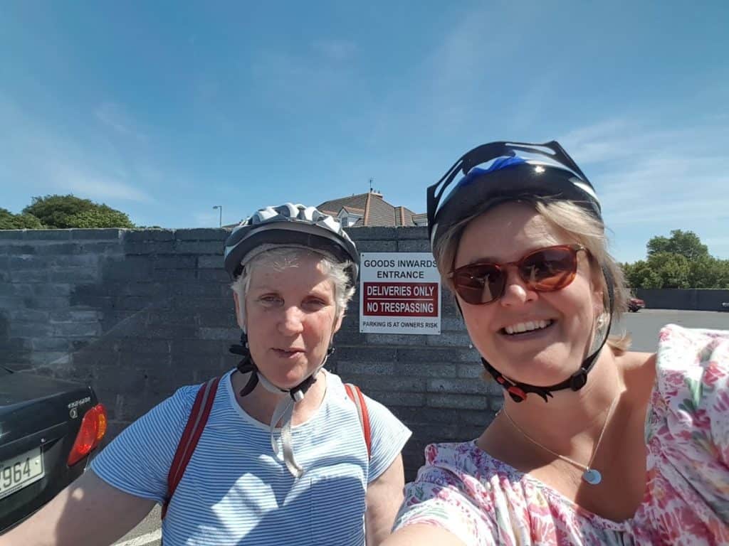
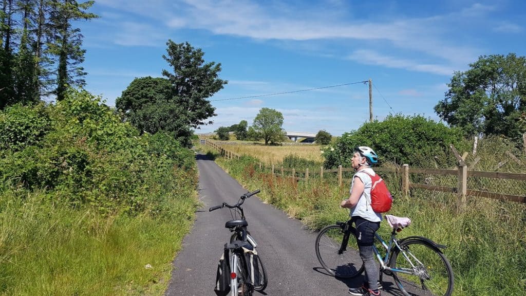
    Karen and myself setting out for our cycle

    Start of our trip

    We met up at the Supervalu’s Carpark in Gort ( hello Karen!!), so we could easily unload our bikes.

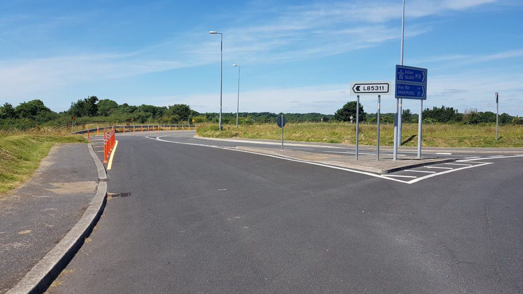
    We then headed for the roundabout, taking the slip road L85311, which runs parallel with the motorway.

    Image of the L85311 exit
    Taking the exit L85311

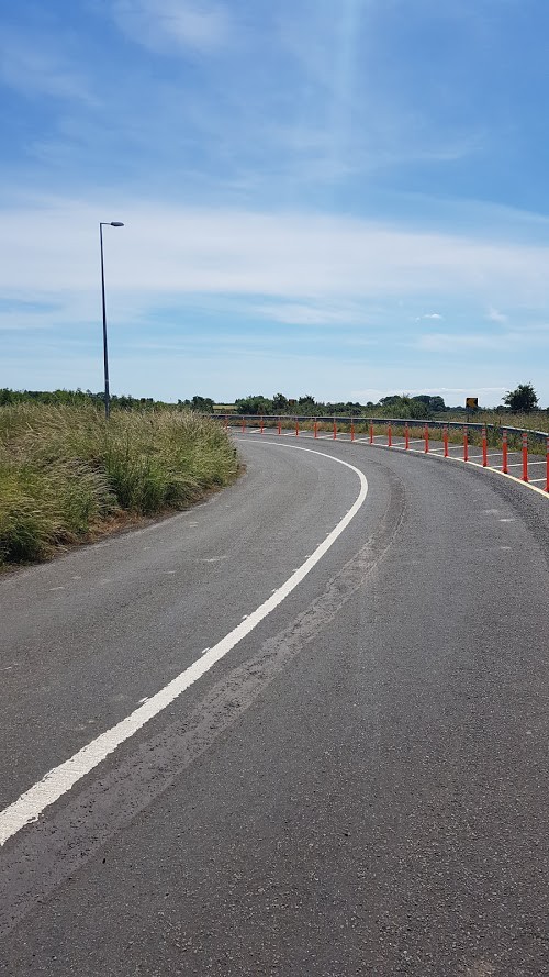
    There is a bit of bend in the road, and a steep descent. You’ll feel your bike picking up speed!

    coming down the road

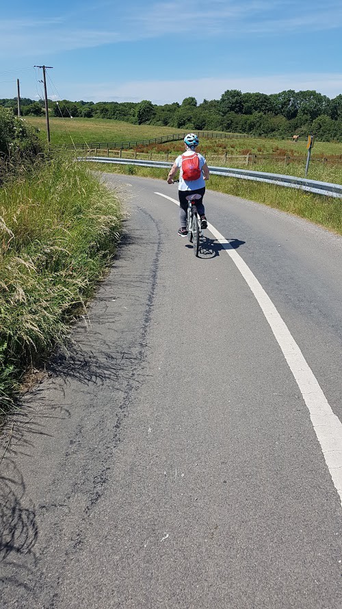
    Karen going down the hill, the view is amazing.

    view coming down the hill

    The road then gets a bit bumpy The Road has been resurfaced since I  wrote this article! The road  is  narrow and when you come to the end of the road, you take a right.. ( Taking a left isn’t really an option, as there is a fence).

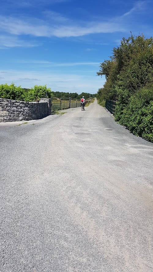
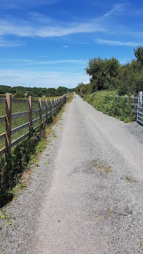
    As you take the right, you are on a gravel road, with fences on both sides.

    gravel road Gort's mini-greenway

    Image of Gort's mini-greenway


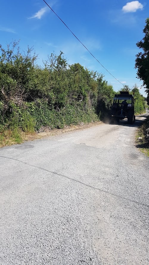
    Apart from a tractor, we didn’t come across any traffic.

    tractor on Gort's mini-greenway


    At the end of the straight stretch,  there is another bend, and then you come to a fork, you take a right.

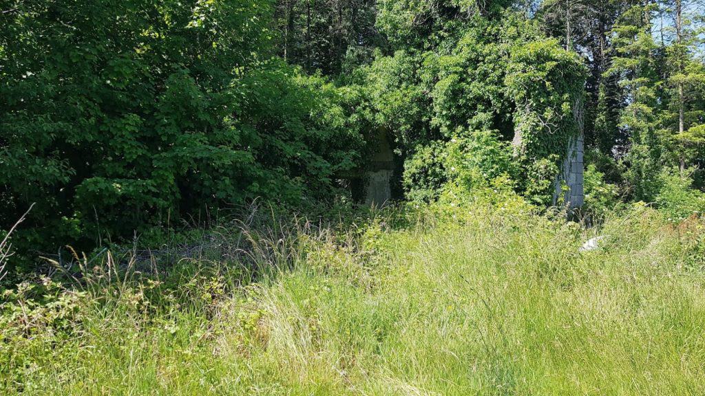
    As you cycle along you’ll pass a few houses and a ruin of an old house, it would be interesting to find out what this building once was. As you look at the ruin, you can see the bridge over the motorway to your right.

    image of an old ruin on Gort's mini-greenway

    overlooking the bridge over the motorway

    You are now on the road/avenue that leads to … Coole Park. You’ll see the new bridge over the motorway on your right.
    straight ahead for coole park, bridge behind you

    Now all you need to do is cycle/walk to Coole Park. Head for the Tea rooms, I hear they are serving coffee/tea/cakes and lots of other goodies. Check out their Facebook page to their latest menu.
    This Cycle/walk is just over 4 kms. from Gort to Coole Park.

    Next time I’ll show you how this route connects with the Golden Mile in Gort…

    Happy cycling!

    Katleen

    Share and Enjoy !

    Shares


Shares