Making plans to go for a cycle this May Bank Holiday? Let me give you 5 loops you can cycle/walk in the Burren Lowlands. Support my fundraiser for #CycleAgainstSuicide #ShareTheLoadOnTheRoad I am also planning a community cycle from Woodford to Flagmount – if you are interested in this, sign up here to get updates. Join the Gort Cycle Trails Facebook group here.
Mary’s Walk Peterswell
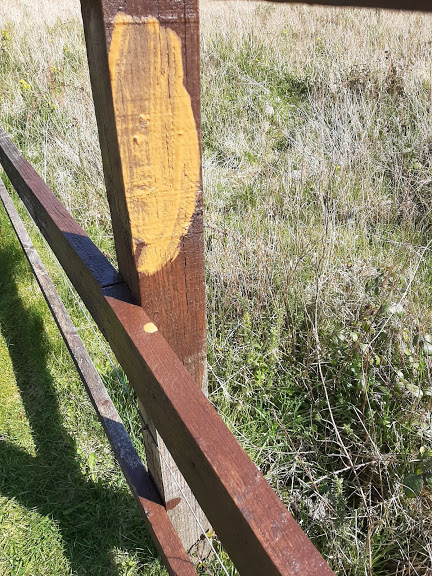
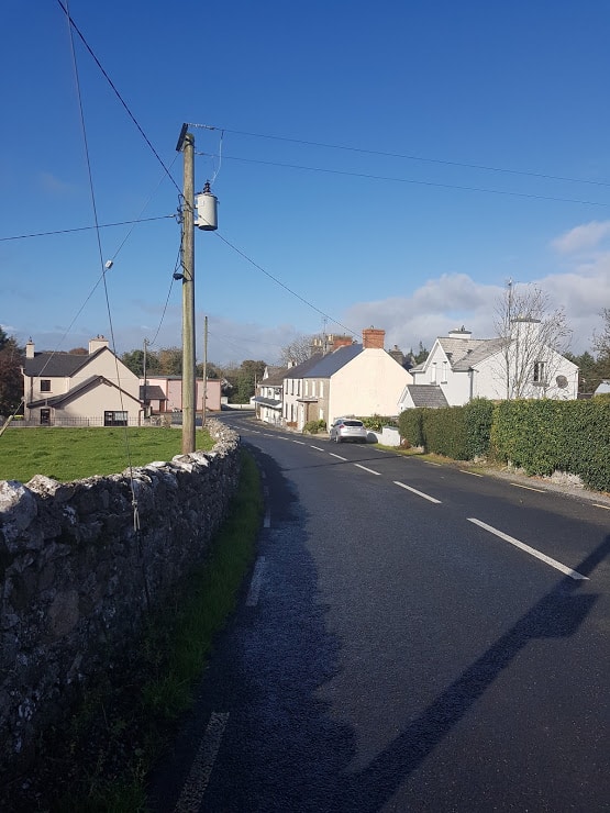
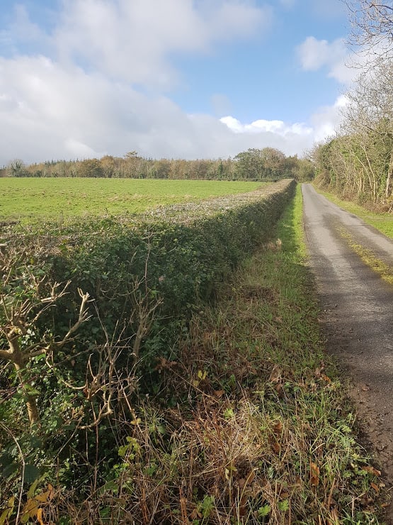
Mary’s Walk Peterswell – 5 Kms — Peterswell is approximately 10 Kms from Gort and has a number of walking loops and cycle trails( OK, the higher up you go, the more muscle power you need) I mapped Mary’s walk a while back! Mary’s Walk does have a few hills, so if you are cycling, I recommend you do the cycle clockwise ( I walk some of it where the hills are too taxing), but very doable… Beautiful country views on very quiet roads. Instructions here.
Gort’s Mini-Greenway
Gort’s Mini -Greenway – 5 kms ( one way)— This is a hidden treasure that very few people know about – a very safe way to cycle or walk into Coole Park from Gort! Walk or cycle into Coole Park and reward yourself with your favourite tea/coffee, delicious sandwiches and cake at Coole Park Tea-Rooms ( I’ll have one of their rocky roads any day – tell them I sent you) Instructions here.
Sean Bingham Mausoleum Ardrahan
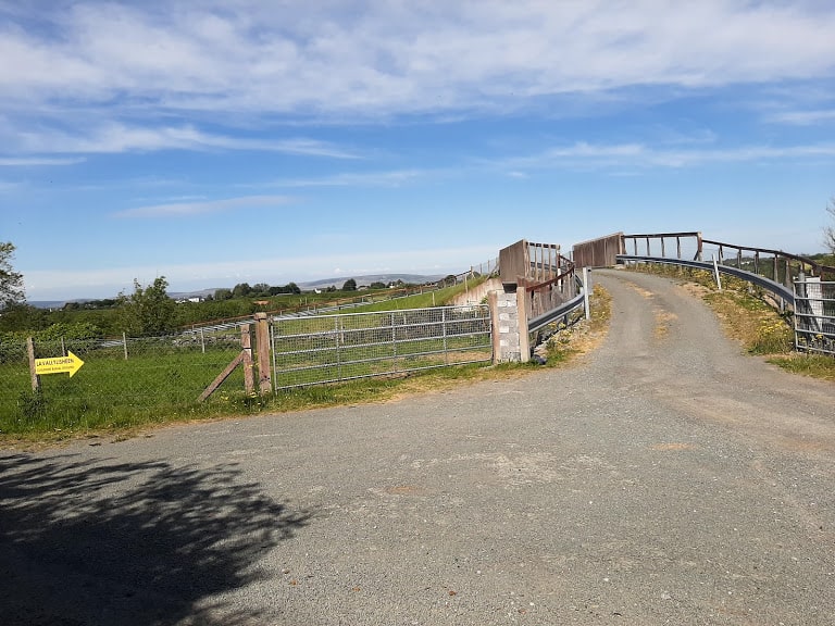
Sean Bingham Mausoleum Adrahan – 10 km — Also this is a little treasure I’d recommend you check out… It’s a gentle cycle, starting from Labane ( or you can start from Ardrahan). Bring a picnic to eat at the picnic table and enjoy the views. Instructions here. If you are looking for a longer cycle, check out the Adrahan Drumharsna Castle and Old Mile Stones Bikeride here.
Thoor Ballylee to Gort RiverWalk Via Kiltartan Gregory Museum
Join my Facebook Group Gort Cycling Trails and let me know if you cycled or walked any of the trails, what you thought about them, and if there are other cycle trails that should be mapped in the #burrenlowlands
For a full list of #SafeCycleTrails and maps I have mapped so far, click here. I have done a lot of cycling in the last few weeks, and will be adding a number of new loops shortly!
Gort Cycle Trails raising funds for #CycleAgainstSuicide
I am currently raising funds for #CycleAgainstSuicide to raise 500 Euros to train someone in the community to become a buddy. The Community buddy programme trains and equips participants with the practical, hands-on skills and knowledge they need to deliver support to those in mental health distress in their local communities. Donations can be made via Idonate , Facebook and Instagram or simply click on the below image !
Looking for a looped cycle in the Burren Lowlands?
Itching to get onto your bike? Let me show you a looped cycle trail I recently discovered from Thoor Ballylee to the Gort River Walk( under development)
Join my Facebook Group Gort Cycling Trails and let me know if you cycled this trail, what you thought about it, and if there are other cycle trails that should be mapped in the #burrenlowlands
The total distance of this cycle is just under 20 km. If you are only cycling from Thoor Ballylee to Gort, it’s 4 km. I would allow up to half a day to really take your time! Have a picnic at Thoor Ballylee, have a rest at the River Walk, Walk around Gort( and visit Kiltartan Gregory Museum when it reopens.)Things to bring: snacks, breakfast or lunch, water, charged mobile and don’t forget to apply suntan lotion and wear high viz jackets. Switch on your bike lights if the weather is not so nice. If you are cycling on your own, let someone know where you are heading.
Thoor Ballylee’s History
To learn more about Thoor Ballylee and the link with the Irish poet Yeats and the dramatist Lady Gregory, click on this link. *****Please note – Thoor Ballylee is currently closed due to COVID-19 Check their Website/Facebook page for the latest updates!****
I should probably say re-discovered as this trail is an age-old trail that people used to travel on by foot and bike from Gort to Ballyanneene, Rinerush, and possible also Peterswell, where I live.
Route description from Thoor Ballylee to the Gort River Walk
I recommend you start from Thoor Ballylee (or anywhere on the Skehanagh side) to have the least amount of hills. If on the other side you are looking for a heart-pumping exercise, do the cycle anti-clockwise:) You’ll definitely sleep well 🙂
Check out this Google Map showing you the looped cycle.
From Skehanagh to Thoor Ballylee
Intro to the Cycle from Skehanagh to Thoor Ballylee to the Gort River Walk
The first video brings you from Skehanagh to Thoor Ballylee. There is one hill to climb before you get to the top of the Road- I had to get off the bike as I was also holding my camera( note to self – must find a way to mount my phone). What goes up, has to come down, so you’ll see in the latter part the downhill cycle to Thoor Ballylee – bliss:)
Once you have arrived at the castle, lock up your bike(s) in the cark park and go for a stroll to the watermill to the right.
Thoor Ballylee form the Pic Nic Area
Explore the watermill at Thoor Ballylee
https://youtu.be/LzkOfOtEgZY
Water Mill at Thoor Ballylee
There are big plans to restore the watermill. Why not take a seat in the picnic area in front of Thoor Ballylee and enjoy breakfast or lunch on the picnic tables or the grass. It’s quite magical.
Thoor Ballylee to Gort River Walk Cycle trail
Next video and pictures show most of the journey from Thoor Ballylee to the end of the road.
Cycle from Thoor Ballylee to the top of the Gort River Walk
The cycle trail from Thoor Ballylee to the Gort River Walk is very straightforward. Leaving Thoor Ballylee to your right, cycle all the way till you come to a crossroads where you take a left.
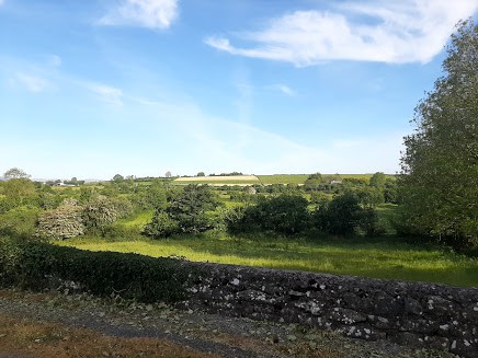
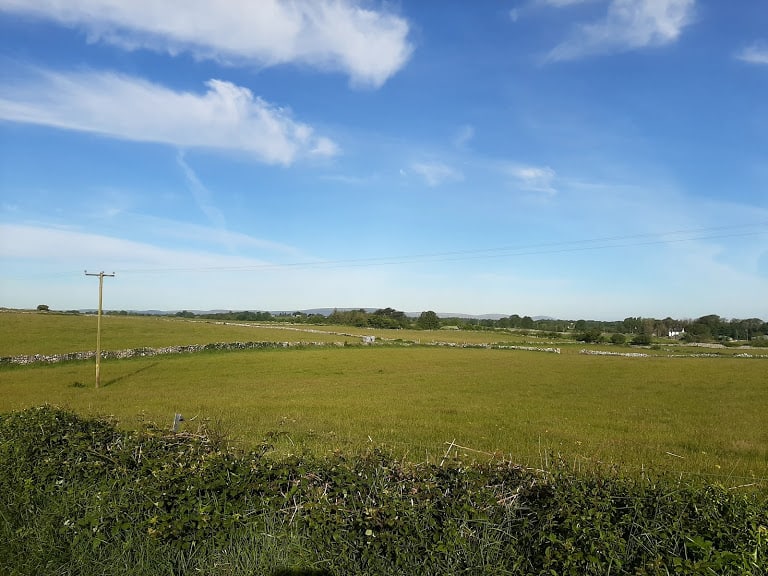
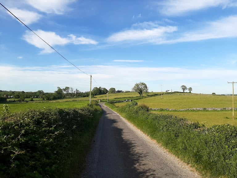
Country views on the Cycle from Thoor Ballylee to the Gort River Walk
Country views on the Cycle from Thoor Ballylee to the Gort River Walk
Country views on the Cycle from Thoor Ballylee to the Gort River Walk
At some point you’ll see a fork to the right. If you look very closely, there is an existing cycle trail called “Finding Yeats”. This cycle trail was mapped by the Burrenlowlands from Gort, sponsored by Sullivans Hotel on the square in Gort. I’ll have to write another blog article about that cycle.
Take a left to go to the Gort River Walk
Cycle for approximately 1 km and you’ll see a yellow bungalow to your left ( It’s a downhill road so you are picking up some speed). Across from that yellow bungalow you’ll see a narrow road/boreen to your right. If you are a local , this is the top of the Pound Road. This road ultimately brings you to the back of Gort.
Railway Bridge
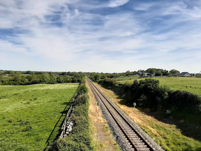
Once you take a right, it’s a straight road that brings you to a railway bridge.
Railway Bridge
Once you cross the railway bridge, it’s a downhill cycle, and the road surface changes to a loose stone surface.
View over the railway track
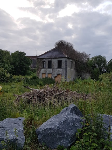
You’ll see a ruin of a farmhouse to your right, and as the road takes a slight bend to the left you will have arrived at the top of Gort River Walk.
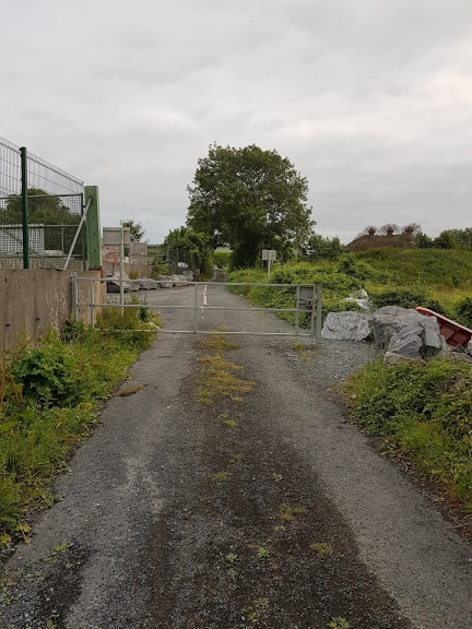
As you cycle down there is a gate, sometimes it’s open, sometimes it’s closed. If it’s closed, make sure when you open it to get through, you close it off.
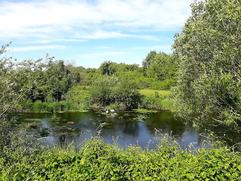
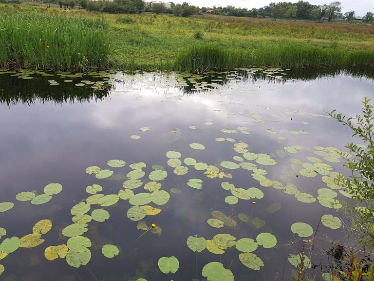
If you look to your right, you may be lucky to see a swan family. When I was there, there was a swan family there with cygnets.
Swans with their Cygnets
If you look a little bit further down to your right, you’ll see the remains of a bridge. DO NOT ATTEMPT to go there or cross the bridge as it is not safe. The Gort River Walk has big plans to replace this bridge with a new bridge, follow their Facebook page to find out more.
Lavally Bridge
Lavallysheen Children’s burial ground
Look to your left, and you will see the Lavallysheen Children’s burial ground. To learn more about the Burial ground, check out this article in Guaire Magazine ( page 64. Since the article was published a group of volunteers have done an amazing job to restore and tidy up the burial ground. It has also enabled relatives to honour and pay tribute to their deceased family members. It’s a truly a sacred place.
Continue your journey, leaving the Lavallysheen burial ground to your left, the river to your right. The road surface is a bit bumpy but ok to cycle. It’s only towards the end of the cycle, there are bigger/rougher stones, and it may be better to dismount for a short while. You will now have a beautiful view of the River to your right. ( There are way more and better images, I’ll write another post dedicated to the Gort River Walk)
View over the Gort River
Gort River Walk
As I mentioned earlier, there is currently a project in progress by local volunteers to establish a Gort River Walk, find out more about the history here. The Pound Road, once a dumping ground and no go area, has been transformed into a beautiful walking area to be enjoyed by all. Follow Gort River Walk on Facebook and their recent fundraiser – please support if you can.
Flower Vale House
You’ll now see barriers, you can go around a little place to the right.
Gates and passage to the right
Continuing on to your right, you will see the remains of Flowervale House – home of the once mill owners. This article tells you all about the history of the house and the (tragic) story of how the mill was flattened to the ground. It is also the back of Aldi in Gort and the start of the Gort River Walk.( There are in effect 2 entries, one via the Pound Road and one via the back of Aldi.)
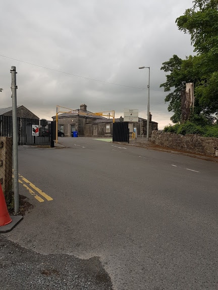
As you continue your journey, you will see the Gort Railway Station to your left and as you continue you will arrive in the town of Gort. Check out a blogpost I wrote about the Gort Railway Station last year, when it was 150 years since it first opened.
Gort Railway Station
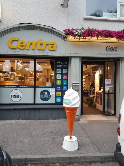
This may be the end of your trip . Pop into Centra for ice cream or continue on the loop and take a right at the roundabout to head back OR you can take a left and go onto Gort’s mini -Greenway into Coole Park I documented a while back.
Icecream at Centra in Gort
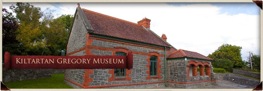
Kiltartan Gregory Museum
If you are heading back, it’s an easy ride, passing entry into Coole Park. Further down is a nice downhill cycle at Kiltartan. You’ll see a red brick building onto your left, which is the Kiltartan Gregory Museum. It’s currently closed , due to COVID-19. Keep an eye on their Facebook Page to find out when they re-open.
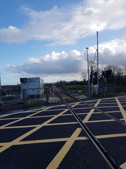
Next you will pass the railway crossing at Kiltartan, and as you cycle you’ll see a sign for Quinn’s hardware store being 5 kms from that point.
This is the back of the Quinn Sign:) pointing to the Kiltartan Gregory Museum
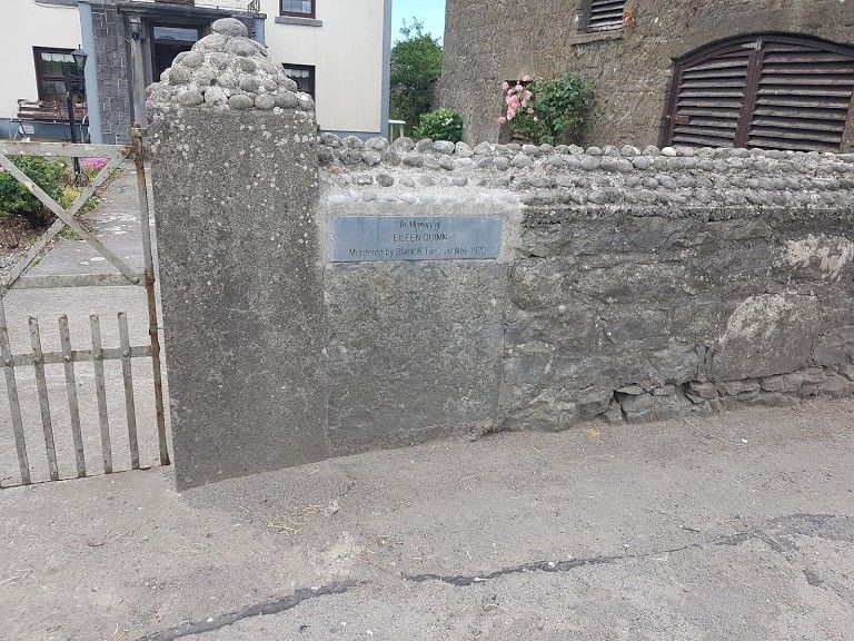
Eileen Quinn Memorial plaque
Across from the sign, you’ll see a farmhouse, with a remembrance stone to Eileen Quinn, who was murdered there on the 1st of November 1920. I strongly recommend you listen to this recently produced documentary about the life of Eileen Quinn and what happened there on the 1st of November. Humbling is an understatement
Eileen Quinn Memorial plaque
It’s been downhill for most of the way, so it’s time for a bit of climb across from Tannian’s forge. There is a bit of bend in the road, and I always cross the road before the hill, as visibility is limited once you are on the climb.
Once you have caught your breath, you’ll see Cummins kitchens to your right and signs for Thoor Ballylee. Take a right, enjoy the downhill cycle or take a left and do an extra loop via Shehanagh.
Back to where I started my cycle
The road bends to the right, and this is where I started the cycle.
The road to your left brings you into Skehanagh, where there are few other cycles you can do, I’ll have to write another blog post about the Skehanagh cycle trails.
As it is summertime, the floods we had earlier in the year, have receded. Learn more about the South Galway floods here.
Hope you enjoyed this (long) article- look forward to hear if it has inspired you enough to do the Cycle from Thoor Ballylee to the Gort River Walk!
Join my Facebook Group Gort Cycling Trails and let me know if you cycled this trail, what you thought, and if there are other cycle trails that should be mapped in the #burrenlowlands
Who shot JR Ewing?? I will come to that in a minute. To keep myself sane, and with the fabulous weather ( aren’t we just so lucky), I , like everybody else in the country, decided it was high time to give some much-needed love to picket fence. I had started the project two weeks ago, but had to stop, as the pain that I had was not the same colour.
When you realize the second bucket of paint you have is no quite the same colour
Luckily the paint shops have re-opened, so more paint was bought with a local paint supplier to continue the mission.The idea was also that the nocturnals teens might join in, so they could earn some pocket money.
Now you might ask yourself, what is the link between the picket fence and the phrase “ who shot JR Ewing? Who the hell is JR Ewing? Read on to find out:)
Some of you ( of a certain vintage) will remember the series set in the 80’s called “Dallas”. Dallas was this American prime time television soap opera that was on TV around the world from April 2, 1978, to May 3, 1991( amazing it ran for 13 years!) The series revolved around a wealthy and feuding Texas family, the Ewings, who own the independent oil company Ewing Oil and the cattle-ranching land of Southfork.
My stereotype of Texans was set, they all lived on a huge estate, drank scotch and wore a Stetson( cowboy) hat. I was in Texas many years after and I could not understand why they were not all wearing a Stetson (cowboy) hat! JR Ewing ( also just knows as JR) was the baddy, and eventually, he was killed. As soaps go, we were kept guessing who killed him and eventually we found out…
When we bought our house 16 years ago, and seeing the long fence on both sides of the house, reminded me a little of the opening scene in Dallas where you saw this (much longer) range fence.
Now that the fence has been painted ( partially also thanks to the nocturnal teens), I made a little video, adding the tune of the Soap’s tune.
Enjoy:)
Sending you sunny greetings from Galway…. And eh.. #stayhome #washyourhands #keepyourdistance
Katleen
PS Do you remember who shot JR? Click here to refresh your memory !
Local businesses offering Take-Away and Delivery in the Burren Lowlands
We are now #day3 since the government announced school closures and we are all adjusting to a new reality of washing hands, elbow and foot shaking and social distancing and the odd winking:)
You have probably done some shopping and are preparing to go shopping again soon (if you are lucky enough to have transport). If you prefer to have your shopping delivered ( or really fancy a pizza, as after all, you can’t eat all the loo roll), we have made a handy list to help you plan your shopping. Please share it with someone who may not have access to social media and that are looking for information.
Many businesses in South Galway and North Clare have offered take-away or in some home delivery services, particularly where people are more isolated. It’s great when a community comes together and help each other!
A few years ago, I took part in a charity walk called “ Run for Mary” in Peterswell. As it happens, I live in Peterswell, but had never really explored that side of Peterswell( the actual village). It was an amazing walk and as the charity walk is coming up soon( click here for more info) I thought I’d walk it again, without the crowds. I have called the walk Mary’s walk, in memory of Mary.
The walk is just under 6 Kms, and it took me 1 hour and 10 minutes to walk it. Regardless of the time of year, wear a high Viz Jacket. Bring some snacks/drinks in case you get hungry or thirsty. And yes, it’s a looped walk!
Join my Facebook Group Gort Cycling Trails and let me know if you cycled or walked any of the trails, what you thought about them, and if there are other cycle trails that should be mapped in the #burrenlowlands
For a full list of #SafeCycleTrails and maps I have mapped so far, click here
So where is this walk?
Make your way to Peterswell, off the main road between Loughrea and Gort.
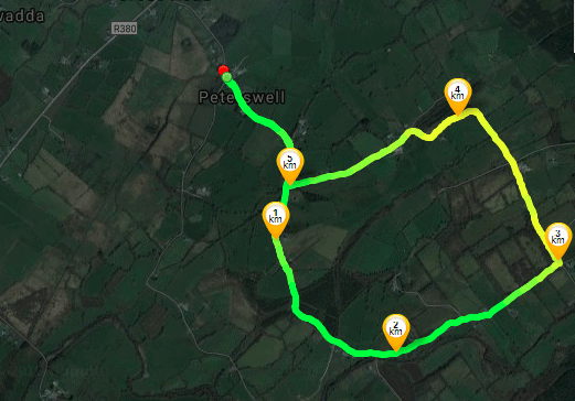
Here is a little map of the walk. ( If you are Runtastic User, click here
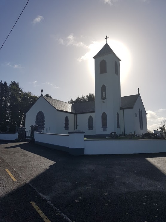
Park your car at the Community Center and walk toward the church.
One you are the church, look back to get a view over Peterswell.
View over Peterswell Village
This is a country road, so just be mindful of traffic.
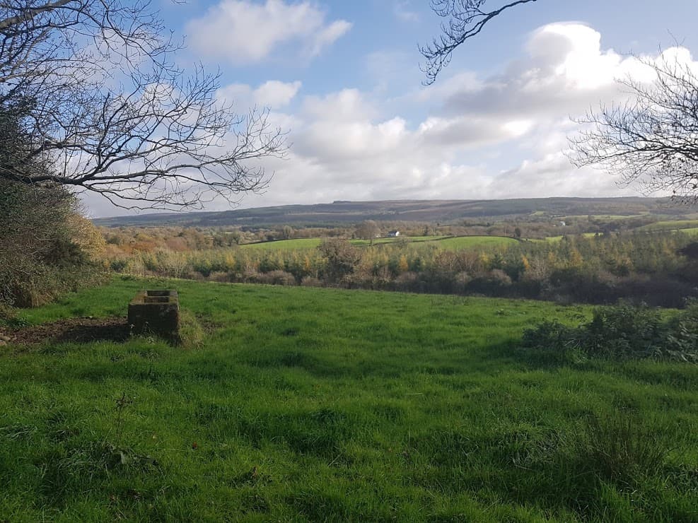
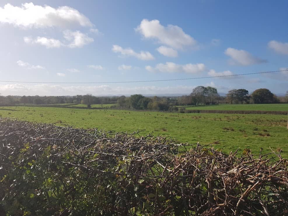
As your walk progresses, you’ll pass many fields, and enjoy views over the countryside.
Keep walking, the road veers to the left , don’t take the road over the bridge.
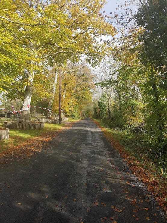
At this point you are in a very rural location! I loved the view with all the leaves on the ground.
The road comes to an end, take the left turn. As you walk on that road, it’s a bit hilly, you’ll see hedgerows on the left.
There is a beautiful view from the top of the hill:)
Keep walking till you come to the end of the road. Take a right, as you are now back on the road that leads you to Peterswell.
Well, well, what I week, that’s all I can say! Unless you have been living under a rock( or maybe you live outside of Ireland and are not familiar with hurling), the all- Ireland Senior hurling championships took place last Sunday between Waterford and Galway and the Galway team won!!
It’s been 29 years since Galway won the Liam MacCarthy cup , so there was plenty of reason for celebrations in and around Galway. A homecoming for the Galway Seniors was organized, starting at Pearse Stadium in Galway City, then onto Clarinbridge, Loughrea and a final stop at St-Thomas’s pitch. St-Thomas’s GAA club is the home club of David Burke ( the captain), so it really was a homecoming.
As St-Thomas is so near to where I live, I went over to go and take a look. As you can see, I wasn’t alone! There was an amazing atmosphere, lot’s of people cheering and singing! When David Burke did his speech, you could hear a needle drop – to hear his speech go to 23 minutes into the video.
It was one of the first times I experimented with a Facebook live event on my page workinglivingtravellinginireland, and 150 tuned into the video. Very quickly the video had a reach of 2000 people. At this point in time it has been viewed by well over 7000 people and has had a reach of 16000. It really is amazing what you can do with a mobile phone!
The Great Western Motorway cycle on the M17/M18
Today was also the Great Western Motorway cycle, offering cyclists a one-off opportunity to cycle the soon-to-be-opened M17/M18 Motorway that will connect Gort to Tuam. I was here in 2010 when the Gort to Crusheen bypass opened. At the time I was working in Shannon, which took about an hour on a very windy road and dangerous bends( I am sure some of you will remember the very dangerous bend at Crusheen). After the opening, this journey became significantly easier and shorter, getting me to Shannon in less than 45 minutes. By 2015, Directroute started works on the long awaited Gort to Tuam Motorway with an expected finish date of early 2018. The new motorway is just over 50 kilometers long, and will offer much needed traffic congestion relief for travellers, bypassing the main bottleneck of Clarinbridge in South Galway and Claregalway in North Galway to get to Galway city and also connecting with the M6 to Dublin. Here is map of the new motorway.
Image of the Gort to Tuam Motorway from the http://www.directroutegorttotuam.ie website
It’s been very exciting to see the works progress, new bridges being built and watching some YouTube video made me realize that this was not an easy job, with the vast amounts of limestone that needed to get blasted. Here is just one of the videos I found on Youtube:
The Motorway is due to open ahead of schedule on the 27th of September! We went over to the Gort side of the cycle and spoke with some cyclists and the ladies of the Gort Lions club.
It was very windy ( and relatively dry), I can’t say the same of the weather later in the day. 17 more days to go, and the Motorway will officially open!
We waved 2015 farewell and welcomed 2016! My best wishes to you and yours for 2016! Congrats to those that are still sticking with their new year’s resolutions, commiseration to those that have already lapsed, oh well, you are still a good person:). I am back to work, and during breakfast my eldest son asked me if I knew the slogan of the Ardrahan hurlers, and I said I didn’t. He was very quick to remind me that it is: We are blue , we are white, we are dynamite! I choose the above title, as I thought it symbolizes the spirit of the people in this area. We tend to have storms in the winter, and this year we have been “treated” to a few too many ! I wrote about #Stormdesmond in a previous post and since #stormdesmond we have had #stormeve and the most recent one was #stormfrank, and unfortunately #stormfrank was the drop that made the bucket overflow, quite literally, as many were forced to leave their houses and farms due to flooding. We are no strangers to flooding, as some areas (traditionally) get flooded, and you’ll see lakes that aren’t there during the summer.
The floods of 2009
The area of Labane/Peterswell/Kiltartan was badly affected by floods in 2009, and I will never forget the community spirit I saw in 2009. People were marooned in, kids couldn’t go to schools, animals were separated from their owners, and couldn’t be fed. I saw people get together, assist each other to bring food and supplies to those marooned in, offer tractor rides, and get together to pump water out of houses.
Local vet being towed in a boat to see to some sick cattle in ’09
It was one of the most frightening experiences I ever went through, especially when the road that connects us with the main road was flooded and we were effectively marooned in. The road at Kiltartan was flooded and Gort was not passable. My husband wasn’t able to get to work, as all the main roads were flooded. Fast forward to 2016, and unfortunately the same is happening.
South Galway Flooding 2015
I took below video at the same place
A local aerial photographer Sean Brady took following footage, to give you an idea of the extend of the flooding. Click on the next link by Sean Brady Aerial Photography. on Monday, 28 December 2015 that shows the extensive flooding at Kiltartan.
A number of dignitaries visited Labane/Ardrahan today, including the President of Ireland, Michael D Higgins. Our youngest son was all set to meet him and get his signature, and his wish got fulfilled, and my husband was interviewed for the radio. Glad to see that some local politicians Ciaran Cannon and Joe Byrne got together to dig a channel to ease some of the flooding in the Kiltartan area , so water can flow into the sea at Kinvara.
It’s not over yet, and hopefully the rain will stay away, the water can flow back to the sea or evaporate and a strategy can be developed to deal with such disasters. If you are affected by the floods, you can apply for emergency funds here ( no longer valid). If you would like to support those affected by the floods, you can donate to the Irish Red Cross here ( no longer valid)
For my part, small business is always on my mind, and is the backbone of many communities in Ireland. Getting your business featured to a greater public or talked about in local media/TV/Radio is difficult, is hard to measure and is very costly. I have decided to start talking to small business in the West of Ireland, listen to their stories , challenges and successes ,and hope that this will contribute to creating more awareness of what small business has to offer in the West of Ireland. if you are a small business in the West of Ireland, get in touch by emailing me katleen@workinglivingtravellinginireland.com. It will be the best email you have sent in 2016:)