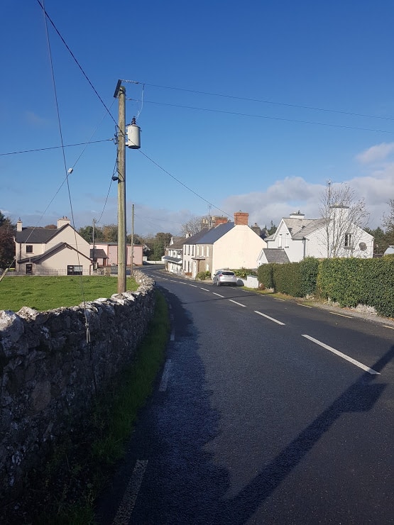
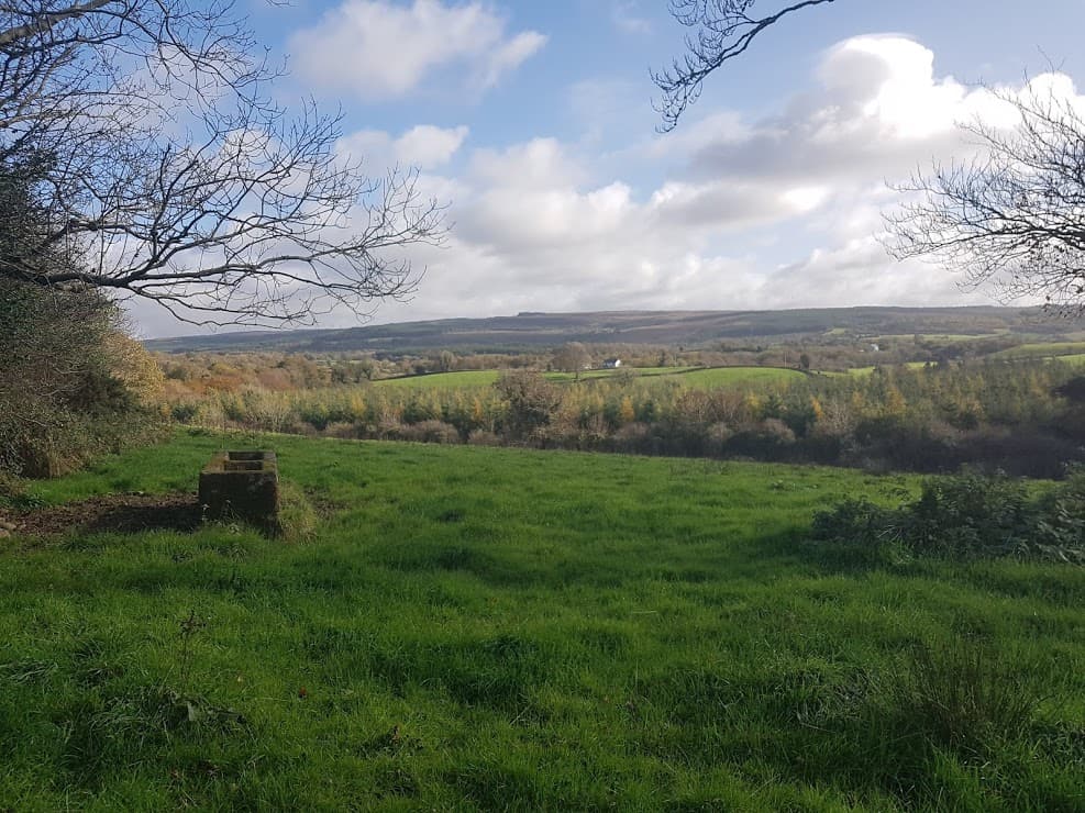
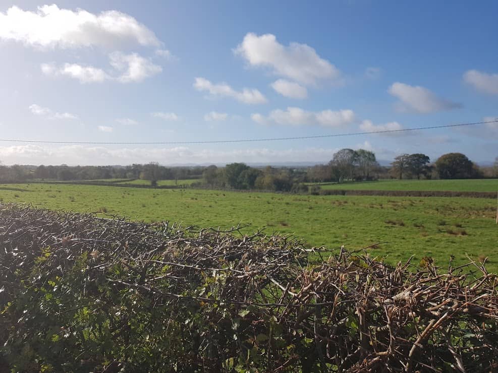
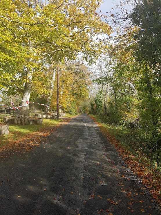
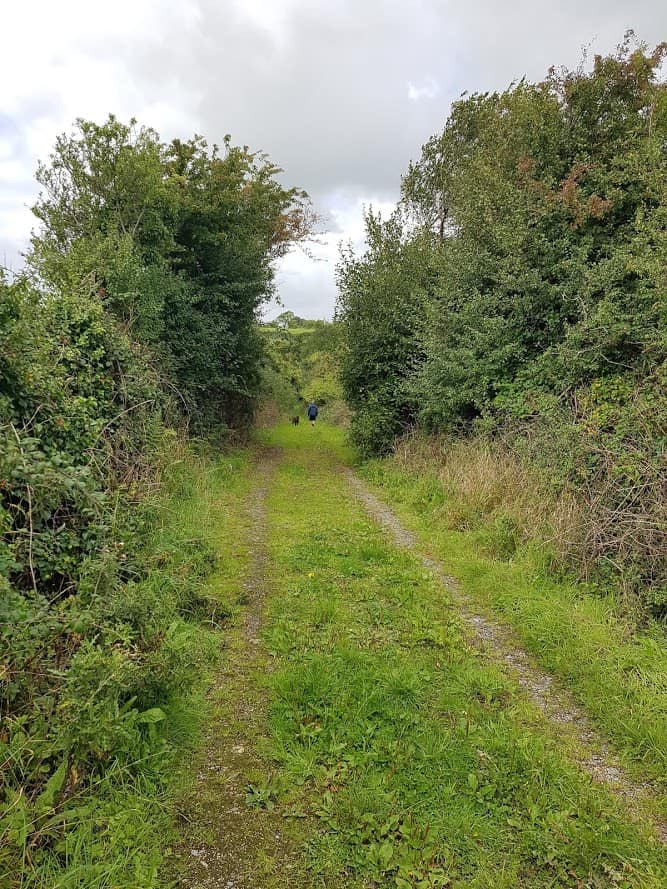
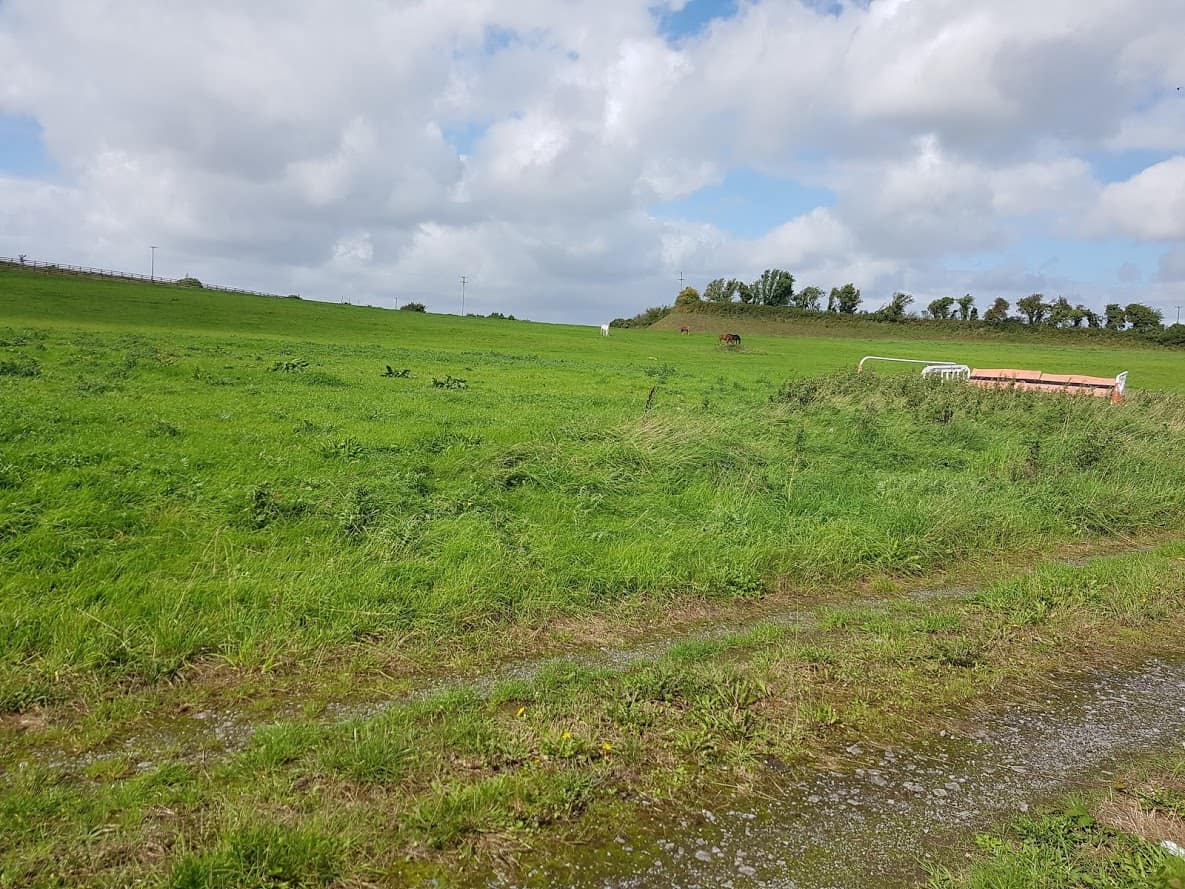
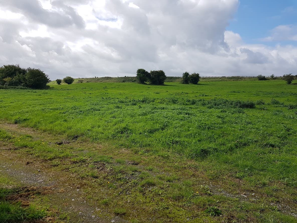
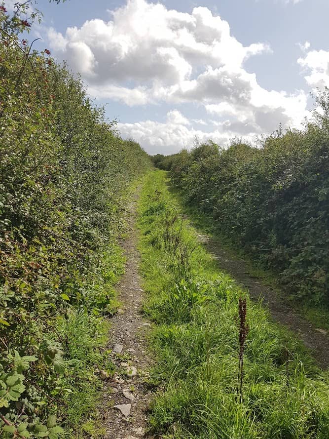
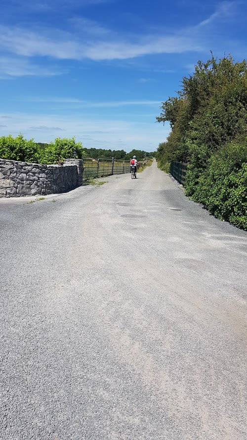
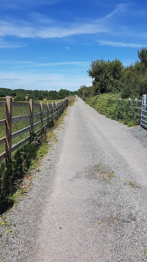
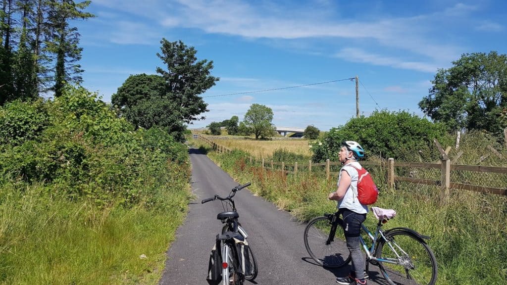
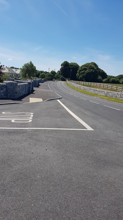
Today I’ll be bringing you from Labane to the Bingham Mausoleum in Adrahan and back. COVID-19’s silver lining has been that I needed to stay local, and instead of driving into work everyday and cycling the last 5 kms , I have been staying home and doing my #dailycle in my area! As it happens there are some really beautiful country cycles /walks, including the Labane to the Bingham Mausoleum Looped Cycle. Click on the + sign to make the map more detailed. The cycle is just below 6 kms, and is easy to cycle.
What is a Mausoleum?
Now before I continue, let me explain what a Mausoleum is ! Wikepedia tells me following:
A mausoleum is an external free-standing building constructed as a monument enclosing the interment space or burial chamber of a deceased person or people. A monument without the interment is a cenotaph. A mausoleum may be considered a type of tomb, or the tomb may be considered to be within the mausoleum.
Googling a bit further, I found a book published in 1975 about Mausoleums in Ireland Craig, Maurice. “Mausoleums in Ireland.” Studies: An Irish Quarterly Review, vol. 64, no. 256, 1975, pp. 410–423. JSTOR, http://www.jstor.org/stable/30089950. Accessed 14 June 2020.
Reading through the book, the Burren Lowlands has its fair share of Mausoleums, a few new ones I’d like to explore, and I think there is even one that is not featured in the book, namely the Gregory Mausoleum ( That’s for another time:) )
Cycle from Labane to Bingham Mausoleum
I started from the Higgins Petrol Station in Labane to stock up on a few snacks and the Sunday Times. If you are travelling to the area, you can leave your car there or park up in Ardrahan. There is usually plenty of space.
Getting a few snack before heading off
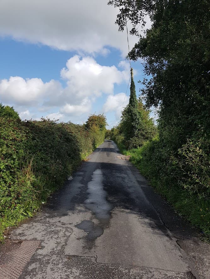
Leaving the petrol station, it’s only a short cycle to the cemetery. Take a right there. It’s a an easy cycle until there is a bit of a hill:)
This is at the bottom of the hill:)Sign for Caher Cre Church and MausoleumRoad leading to Caher Cre Church and (Bingham) Mausoleum
The Entrance to Caher Cre Church and Mausoleum
The entrance to Caher Cre Church and Mausoleum is right behind the blue gate ! If you are by car, drive a little bit further and there is an area just around the corner where you can park – it’s very small, and a coach for example could not in there.
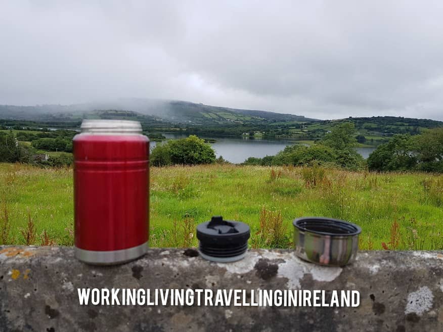
If you brought a snack or a packed lunch, take a seat at the picnic table.
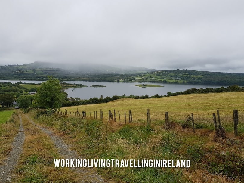
Take a seat at the picnic table and enjoy the view
Caher Cre ChurchHistory BoardGable ViewInside Caher Cre ChurchLooking into the window of the churchEntrance to the MausoleumI love the detail of the door!
Mausoleum to Ardrahan
Continue your journey on a windy road with lovely country views, passing a sign on your right for O’Neills Holiday homes with a turn to the left(you’ll see a dead end sign for the right turn). You then arrive at the top of the road. Take a left into the direction of Ardrahan.
Top of the road
This is the only part of the journey which is on a fairly narrow road and can be busy with cars, so be very mindful. It’s only a short stretch of road, and before you know you are approaching Adrahan.
Approaching Adrahan Village
You will see the GAA Grounds on your left.
GAA Ardrahan
Ardrahan Village
You have now arrived in Ardrahan Village! Check out some of the images I took there. If you are starting your cycle from here, you can park your car here. Why not call into the Irish Fibe Crafters and have a look at their latest weaving creations or take a break on the bench:)
The Square at ArdrahanIrish Fibre Crafters in ArdrahanInformation board about Ardrahan in the Burren LowlandsThe Old Garda Station in the background and bus shelter
Heading back to Labane
It’s now only a short cycle back to Labane, part of this road has already been marked as a cycle lane, I would love to have a full cycle lane from Ardrahan to Gort marked… One day..
Cycle back from Ardrahan to Labane
If you know of a safe cycle trail in the Burren Lowlands, share it in my my Facebook group here!
Local businesses offering Take-Away and Delivery in the Burren Lowlands
We are now #day3 since the government announced school closures and we are all adjusting to a new reality of washing hands, elbow and foot shaking and social distancing and the odd winking:)
You have probably done some shopping and are preparing to go shopping again soon (if you are lucky enough to have transport). If you prefer to have your shopping delivered ( or really fancy a pizza, as after all, you can’t eat all the loo roll), we have made a handy list to help you plan your shopping. Please share it with someone who may not have access to social media and that are looking for information.
Many businesses in South Galway and North Clare have offered take-away or in some home delivery services, particularly where people are more isolated. It’s great when a community comes together and help each other!
Welcome to my blog! Today’s article is about the Gort Railway Station. The Railway Station was first opened in 1869, and as this year is 2019, it’s the 150th anniversary!
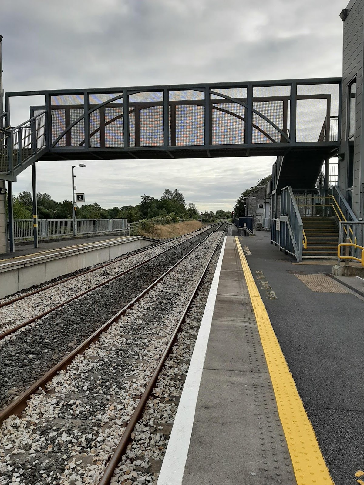
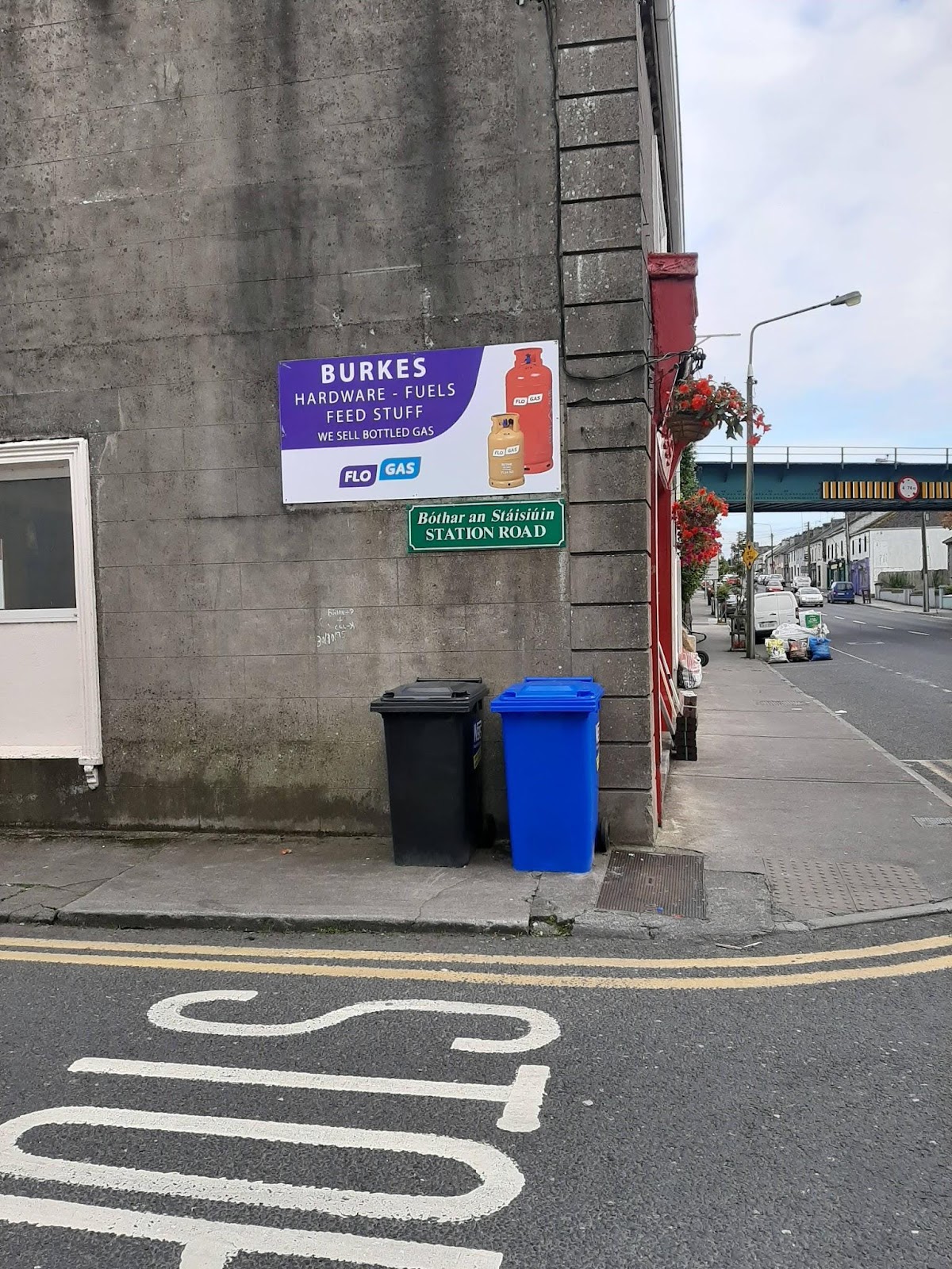
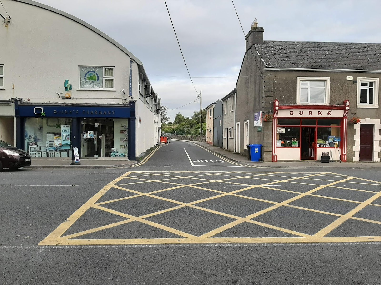
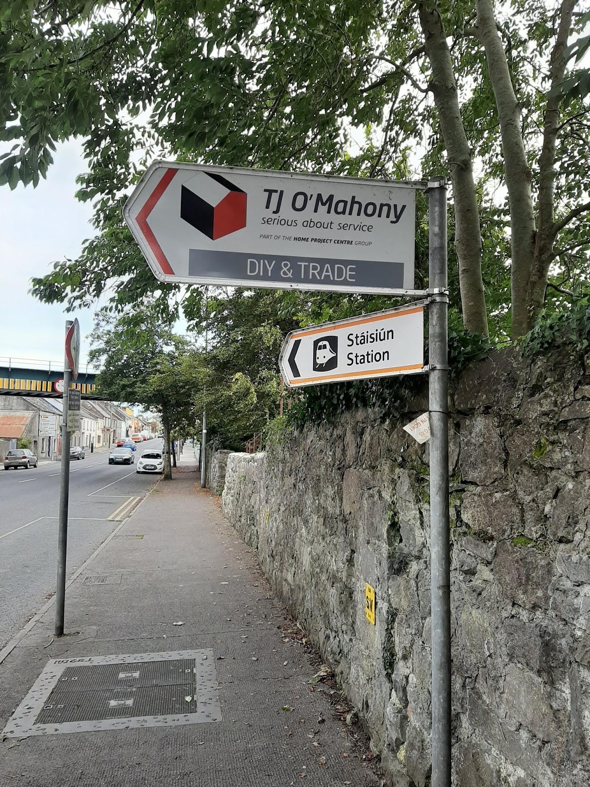
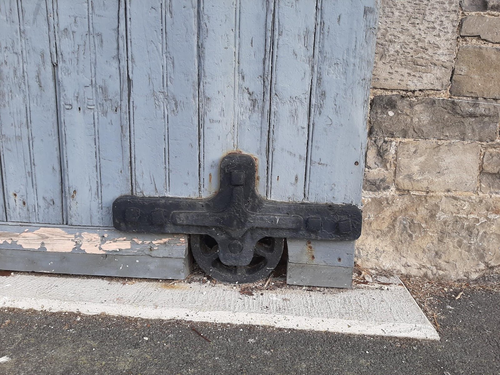
The track at Gort Railway StationStation Road GortEntrance to Station RoadSign for Gort Railway Station – it has been repointed:) since this pictures was taken!Storage areaDetail of the Storage area
I volunteer at the Kiltartan Gregory Museum, and to learn more about Lady Gregory, Yeats, and local history, I read a book written by Sister DeLourdes Fahy called Kiltartan, many leaves one root. It was in that book I learnt about the Railway Station and some of its history.
When did it all start?
Quoting from the book : ( I typed it via Google Voice, instructions here) It all started when William Gregory M.P. and his friend, Sir Colman O’Louglin, M.P. for Clare had spoken for many years about the advantages of having a railway to link Ennis with Athenry. Eventually, the first sod of the Western Line was cut at Ballyline, six miles north of Ennis and by February 1864, £ 52,000 was spent. The earthworks on the Ennis -Gort section were well advanced but less has been executed between Gort and Athenry. The work was suspended, temporarily, in October 1866 because Munro, the contractor, claimed London financial Association Ltd withdrew facilities when he was three quarters way through the work it should not complain it was like a landlord on his tenant cutting green core. The work which was at a standstill for over a year was resumed with the aid of £20,000 government loan and the final £40,000 of £60,000 loan was received in 1868.
The main earthworks were situated at Corker and in the vicinity of Ardrahan and Athenry. Baldwin’s house had to be demolished because It lay in the projected path of the Railway and, consequently, the family was transferred to Caheravohanaun/Balllyaneen. The railway stations were built according to “Rigid Economy”.
I went to the Gort Library to find out if I was able to find articles/pictures about the official opening. I found some articles, but nothing specific about the actual opening. The librarian mentioned she knew the son of the last station master, so I gave her my number, in the hope he would contact me. More about that later:)
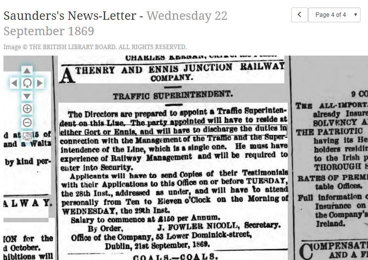
Here is the job add for Traffic Superintendent – check out his wages!
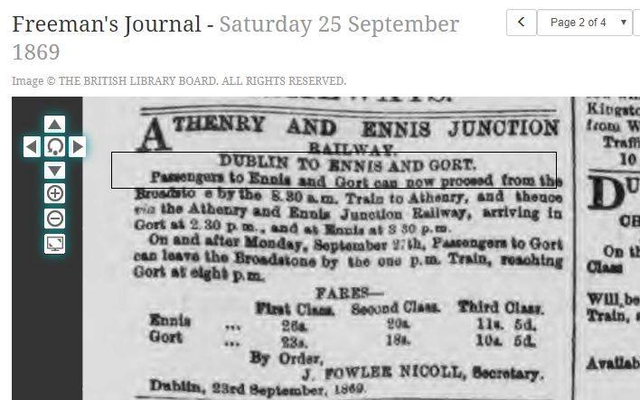
Cost of a Ticket
I can’t quite decipher the fares, so I am using the info from Sister DeLourdes book that says that a first-class ticket from Ennis to Gort cost Three Shillings; a second class was two shillings and a third, and third-class one shilling, which was quite prohibitive when one considers that a labourer’s daily wage was seldom more than sixpence. The journey took one hour but a certain traveller complained that at a speed of 18 m.p.h. was “alarmingly” rapid 🙂
The Official opening in 1869
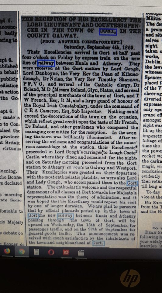
Prior to the official opening, Gort was privileged to have the then Lord Lieutenant and Countess Spencer use the railway line. They even stayed in Gort for the night at Lough Cutra with the Goughs. Reading the article, there were placards all over the town of Gort to spread the news of the opening of the Railway and the town was exceptionally well decorated. It looks like that 150 years later, nobody remembers the history of the railway line.
Newspaper Article describing the visit of the Lord Lieutenant and his Wife
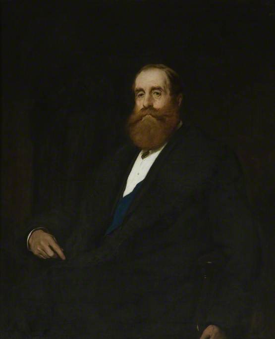
Here is an image of John Poyntz Spencer, 5th Earl Spencer, don’t you just love his red beard!
Lord-Lieutenant Spencer
By John Charlton – BBC, Public Domain, https://commons.wikimedia.org/w/index.php?curid=24738524
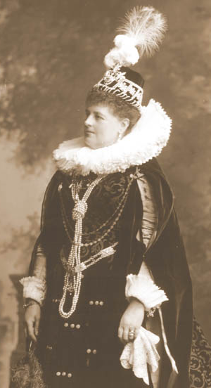
And his wife
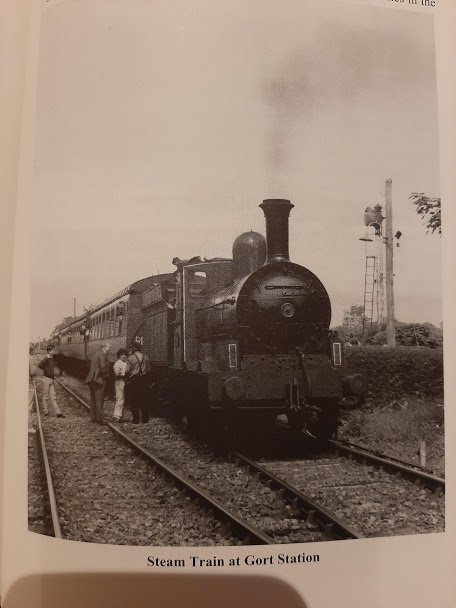
Steam Train out of the Book : Gort Inse Guaire – a Journey through Time
Money trouble
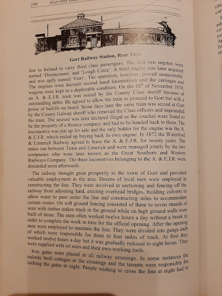
After the bankruptcy of the first contractor, there were more money issues ahead. Another book I consulted is the Gort Inse Guaire – a journey through Time. This book talks about the three engines ( Drumconora, Lough Cutra and Gort), and how on several occasions (!) the bailiffs came to Gort to seize/impound the engines, as there were outstanding debts!
The Lawlor Station Masters
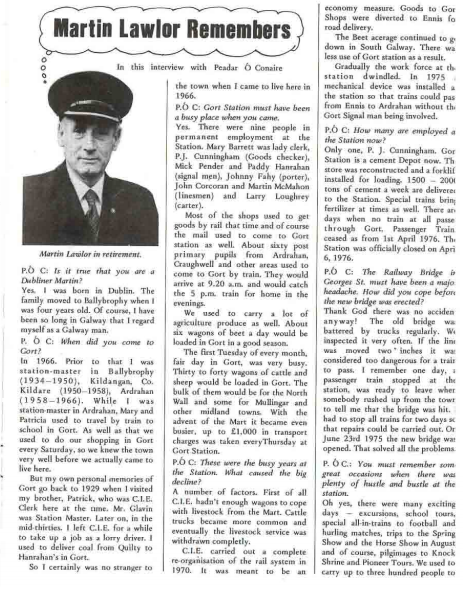
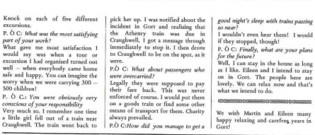
The first Station Master was Thomas Lawlor. Coincidentally, the last Station Master was also a Lawlor. During my research, I found an interview dated 1979 with the last Station Master, Martin Lawlor in the Guaire Magazine.
Article in Guaire Magazine with the last Station Master
But this was not the end…..
Reopening of the Railway Station in Gort in 2010
After a gap of more than thirty years, train services between the cities of Galway and Limerick commenced on Tuesday the 30 March 2010, on budget at a cost of €106.5m, a figure which included building new stations in Sixmilebridge and Oranmore. Check out this website with some fascinating images of some of the work that was done prior to the reopening.
The service provides five trains per day between Galway and Limerick. It serves existing stations at Limerick, Ennis, Athenry and Galway, as well as new stations at Sixmilebridge, Gort, Ardrahan and Craughwell. The Limerick to Galway service also feeds into expanded intercity services between Limerick and Dublin and between Galway and Dublin. Iarnród Éireann planned for both routes to gain hourly services at peak and two hourly off-peak, however recession ( at the time) has resulted in a delay, with some services withdrawn. I was hoping to get more info on the Transport21 program, but it looks like this website http://www.railusers.ie hasn’t been updated in a while:)
Gort Railway Station 2019
Fast forward to 2019, there no longer is a recession, and heading into Galway is serious gridlock, morning and evenings!! There has been a healthy uptake of the train, particularly for students who are commuting to the universities and colleges in Galway. There are also trips from Dublin to Galway on the super the luxe Belmond Grand Hibernian.
But yet again, there are talks to close the railway, as the Ennis to Gort part is not very much used. The Oranmore to Galway section, however, is the busiest section of all. Having travelled it myself, the trains are very packed, the car park is bursting out of its seams, and it really is the best way to travel into Galway city, where gridlock is rife.
Here is an article suggesting that busses would be much cheaper to run, and could possibly be ran more regularly. I think it would be interesting to do a study to find out if more trains are added at peak times going into Galway from Ennis/Gort, if people in South Galway would switch from using their car to using the train.
If anyone from Irish Rail is reading this, please do a trial! It may well turn out people are keen to avoid gridlock traffic. ( or maybe they don’t want to travel at all, and they just want to work from home, check out Grow remote!)
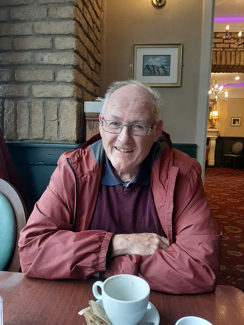
As for me, back to my lead, the librarian gave me – John Lawlor – the son of the last station Master! The librarian passed on my number, and we met at Sullivan’s in Gort.
John Lawlor
He tells me that his father was stationmaster in Ardrahan from 1957 to 1966. When the then station master in Gort – Jack Donovan – was promoted, his father requested a transfer to Gort. At the time both stations had the same status. The station house in Gort was less draughty and bigger, so it suited them better. Soon after his transfer, Ardrahan railway station was degraded. I was surprised to learn that until then, Ardrahan station was the largest station in Ireland transporting beet. This article describes the demise of the sugar industry in Ireland. Although not a recent article( 2016) may be a return of the sugar beet industry might be in sight?
As far John, he has stayed in the transport world and drives a mini-bus for the school run.
When I was talking to John, I realized I had never really seen the house at the Railway Station in Ardrahan, as it is a short stroll from the current platform. So I ventured out to have a look and had a lovely conversation with Marion who has been living at the house since the late eighties and made a great job to restore it! I even got a sneak peek inside:)
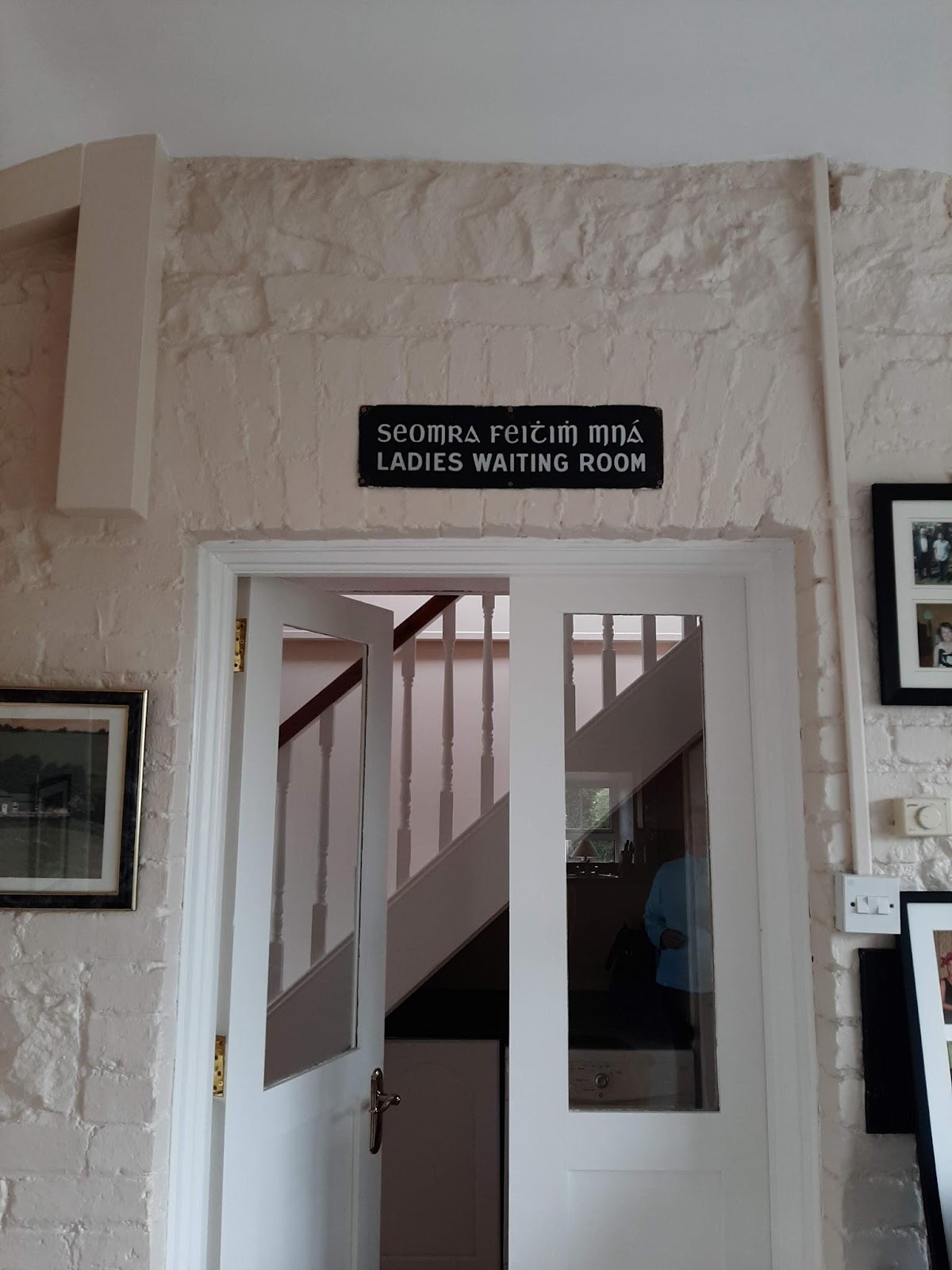
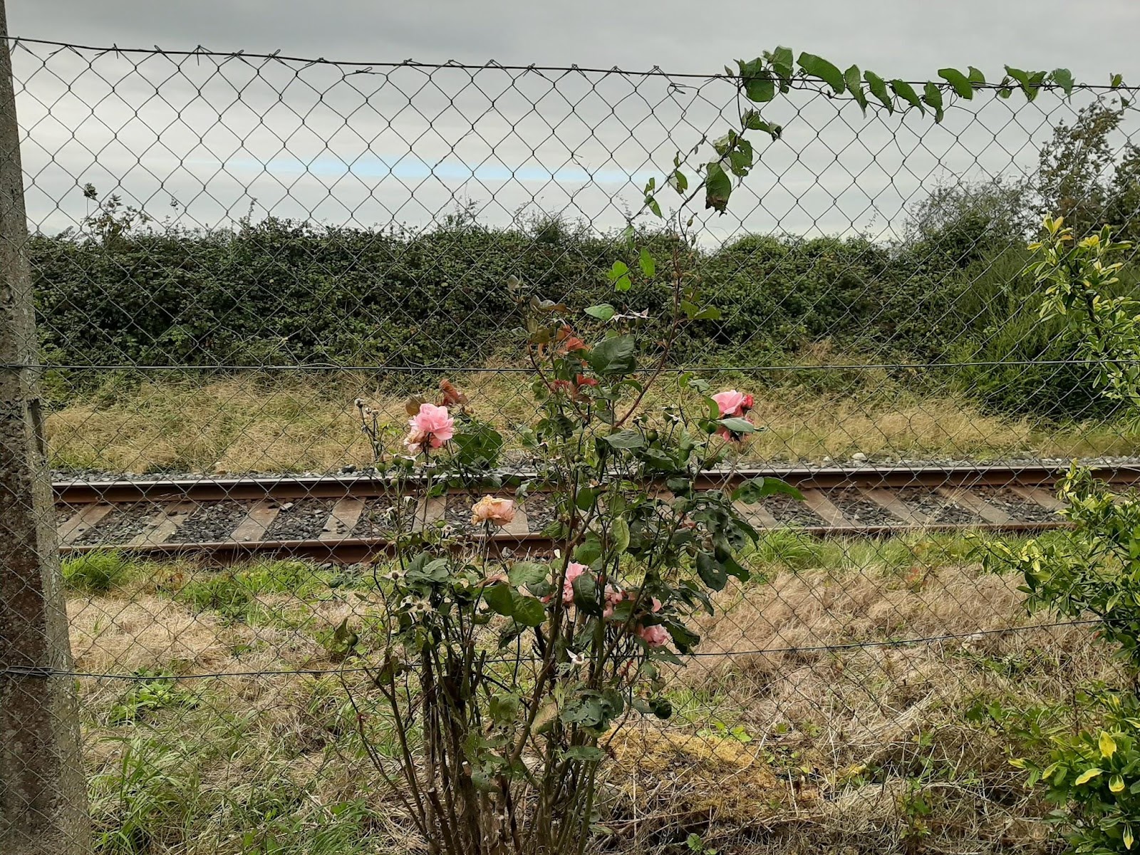
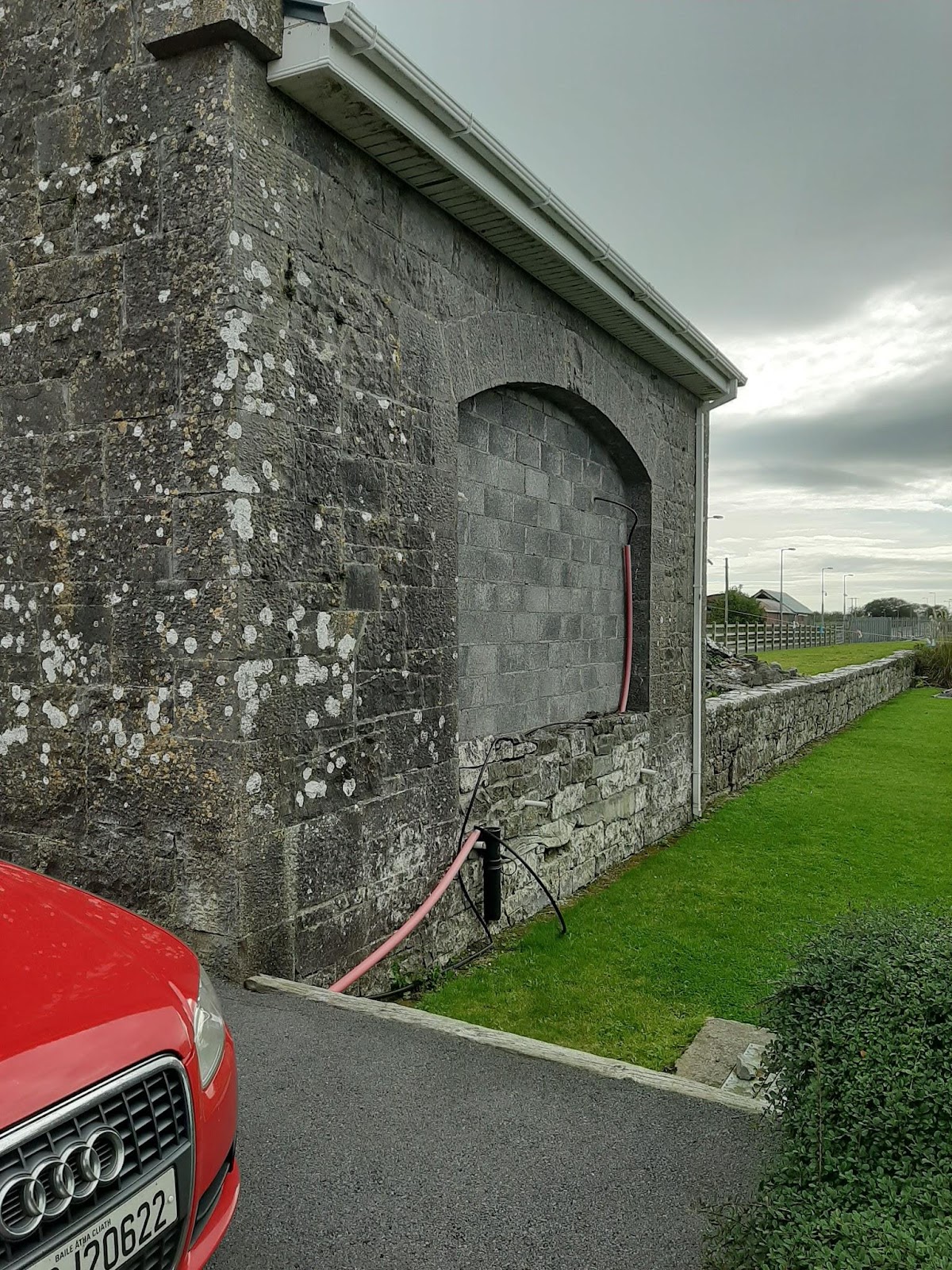
Ardrahan Station HouseThe original ticket windowLadies Waiting area is now a cosy kitchenView over the railway lineThis is where the beet used to be loaded onto the wagons
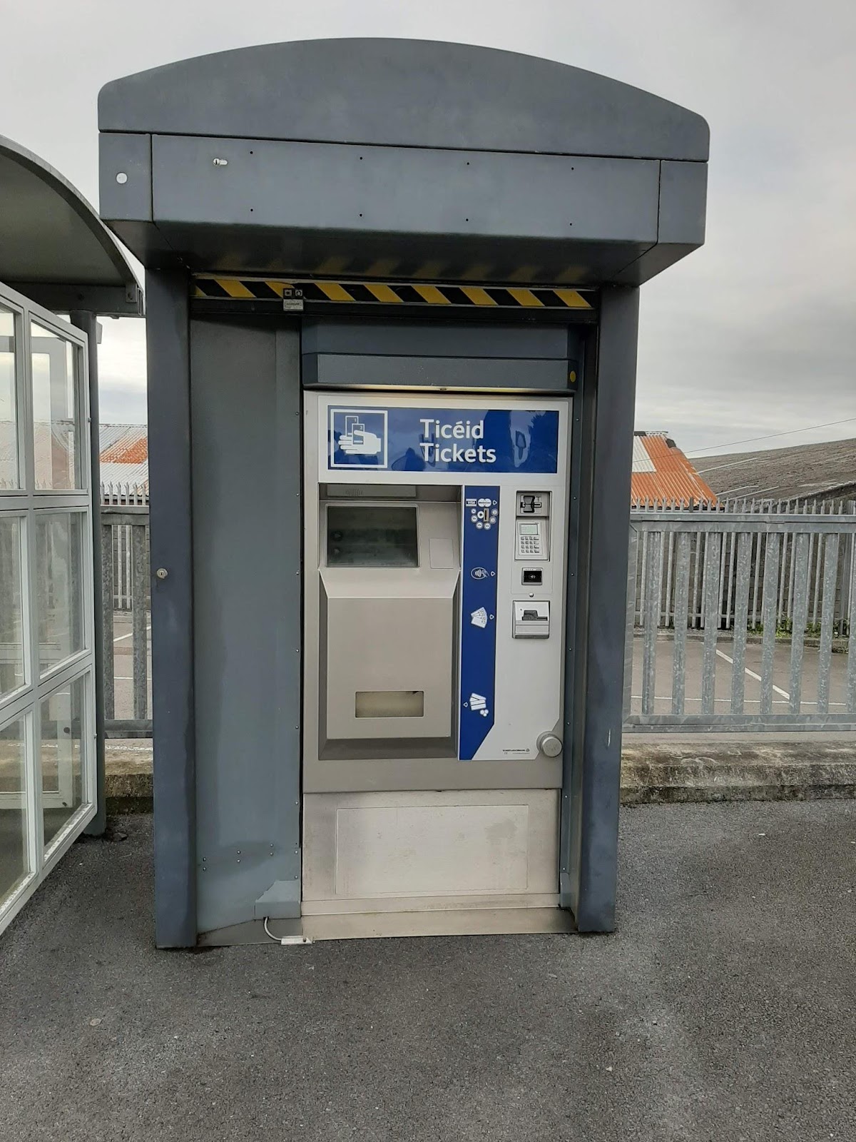
Did you know you can order your tickets online these days? Did you also know that if you plan ahead, you can get yourself a return from Gort to Dublin for less than 40 Euros. Book your ticket online at www.irishrail.ie and collect them at any railway station!
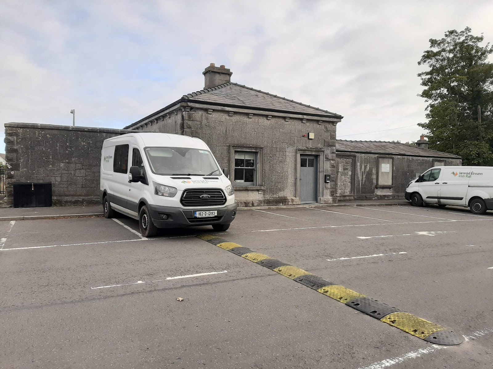
Do you know where the Gort Railway Station is? Did you know it has ample free parking?
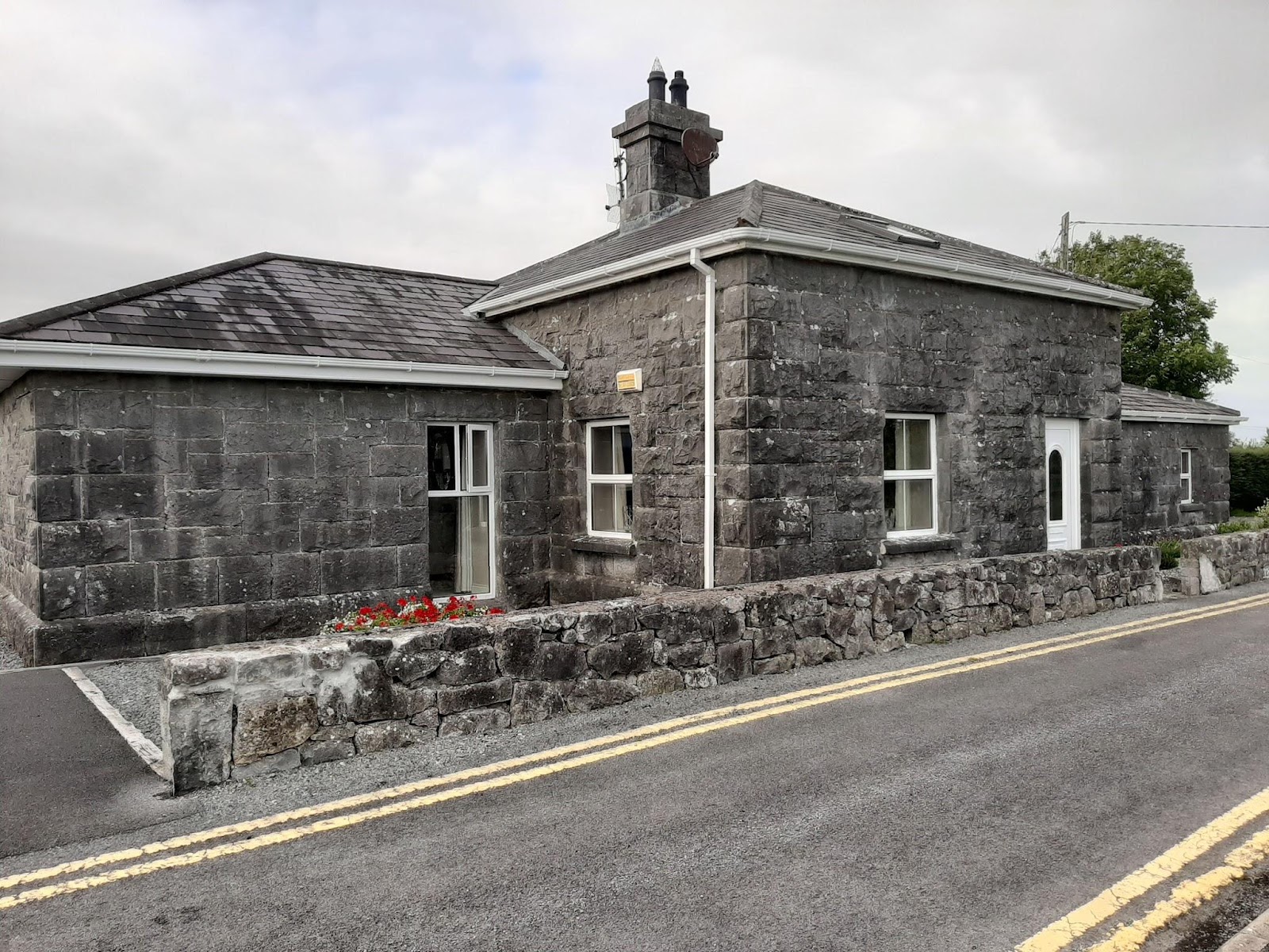
Gort Railway Station House
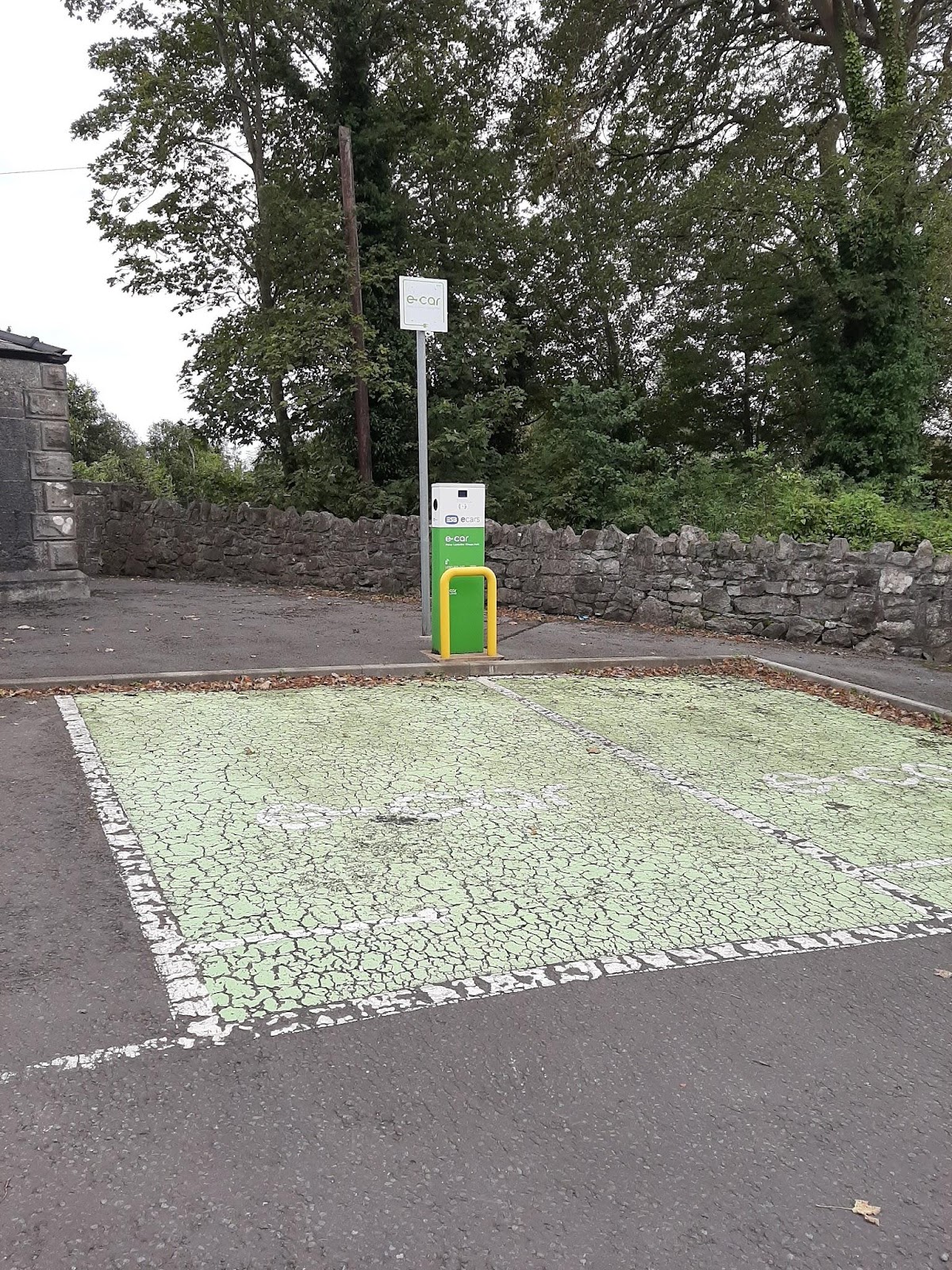
Did you know it even has an electric charger for cars?
When was the last time you used the train from Gort to Galway? If there were more regular trains, particularly in the morning, would you use the train? What do you think is a fair price for a one way/return ticket? I’d love to get your feedback!!
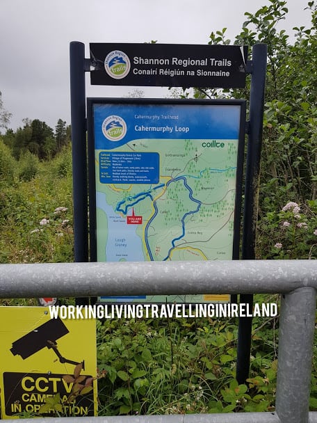
Today’s blog post is about the Cahermurphy Looped Trail in Co. Clare.
Welcome to my blog! If this is the first time you are visiting, my name is Katleen, and I have been blogging on and off for the last 9 years. I am based in the West of Ireland in a small townland called Peterswell in a region called the Burren Lowlands. More about me here.
This time we ( hubby and me) headed out on a miserable Saturday morning to nearby Flagmount in Co. Clare to walk the Cahermurphy Looped Trail. It’s a 20-minute drive from Gort. If you are using Google Maps and coming from Galway, don’t listen to what Google suggests as it will send you down some very narrow backroads. Instead, drive through Gort, and then take the exit for Flagmount. ( Pick up some lunch in case you “forgot” to make lunch.)
If you like what you read, please share or why not follow me on Facebook, Instagram and Twitter.
The Cahermurphy Looped trail is 9 kms long, and I would allow 3 hours to complete it, and this is assuming you are not really taking any long(er) breaks. You might also want to think which direction you walk the Cahermurphy looped trail, and where to park your car, more about that later.
Where does the Cahermurphy Looped trail start?
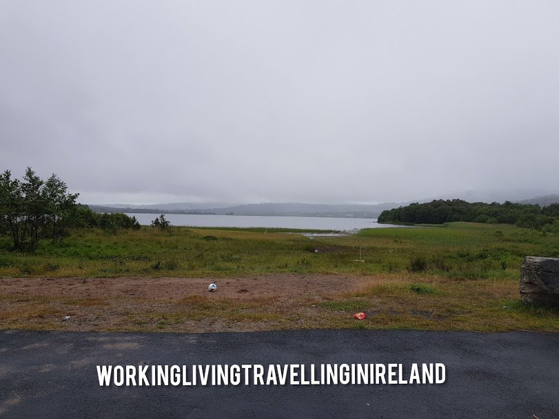
We started from the Lake called Lough Greany. The entrance to the Lake is called White Sands. More info here.
What to wear, what to bring?
Make sure you wear walking boots that are waterproof, as you walk through the forest, marshy bogland, main road and your feet will get wet( I wore runners and pop socks and ended up with that wonderful squishy sound of water with every step and 2 nice blisters to boot !! )
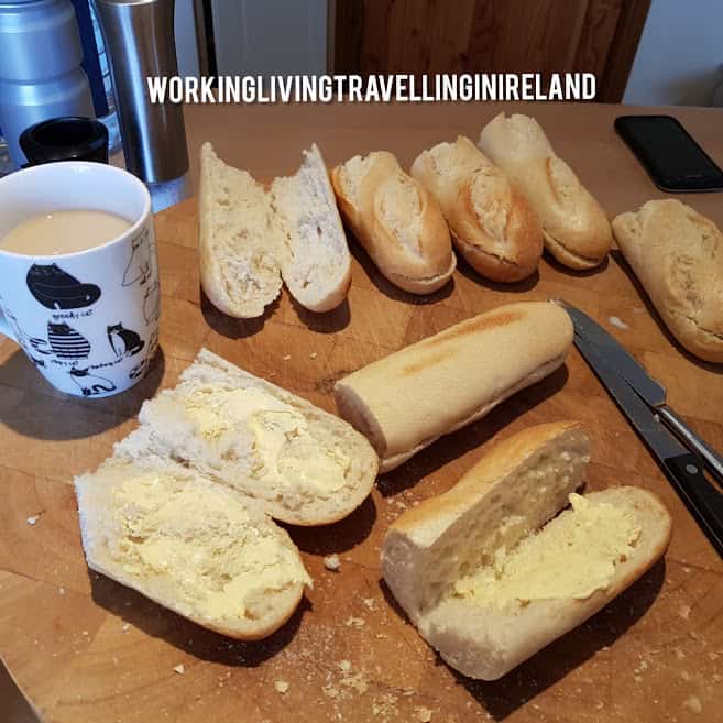
Bring a packed lunch ( really do it), snacks and water/juices as unless you stock up in the local shop in Flagmount, there are no places on your way to buy anything. Don’t forget to start off with a fully charged mobile. Wear a yellow vest for visibility so you are seen on the sometimes busy local roads!
Packed Lunch
We started walking the trail in lashing rain, and it was only as the weather cleared up, we became aware of the midges, so consider wearing long trousers( or be prepared to walk very fast 🙂 or spray plenty of insect repellent.
And last but not least, if you are walking on your own, make sure you tell someone where you are going, and when you are due back as it’s pretty desolate there. In fact, I would recommend you walk with someone, it’s more fun:)
Though I love walking with small kids, this walk is not suitable for small children.
Where to park your car?
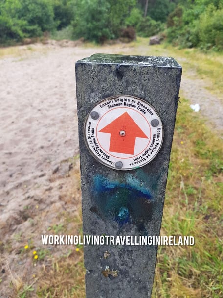
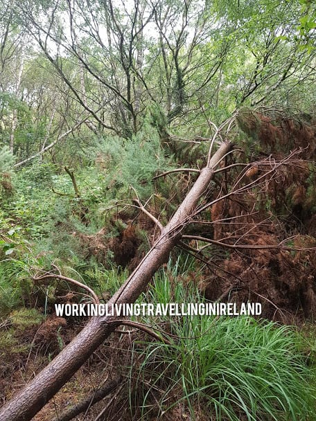
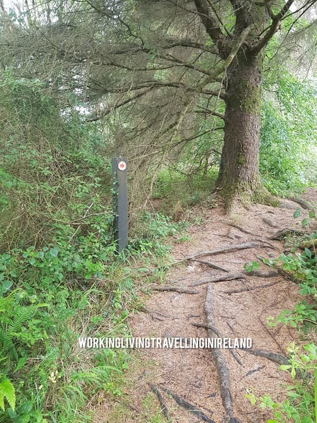
Park your car at the lake, follow the red arrows ( the walk is very well signposted). As you enter the forest, there is a fallen tree, you will have to do some ducking and diving, but very doable.
Cahermurphy Looped Trail Arrows
Fallen Tree
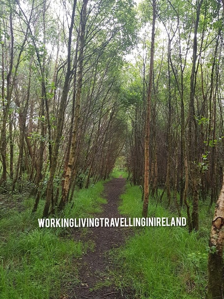
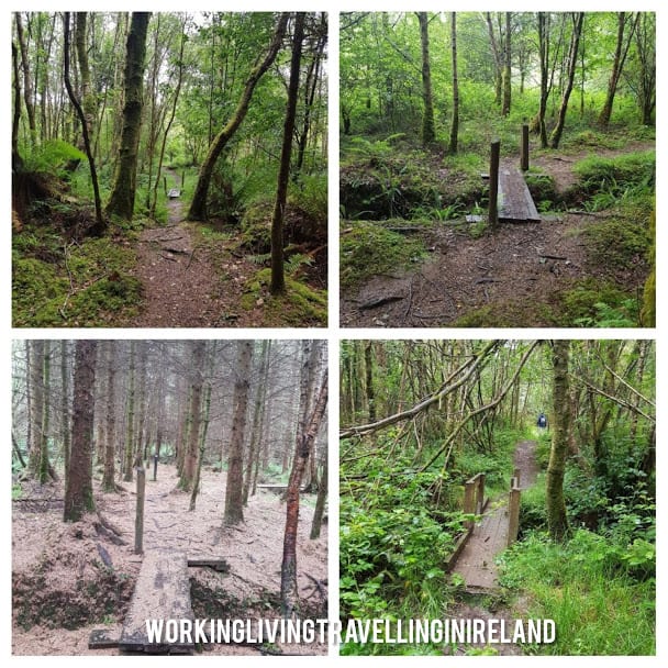
The first hour and a half of the walk is pretty flat and easy, and takes you into a dense forest, followed by a less dense part ( it looks like a dead forest) with a few bridges, followed by a beautiful walk beside the river Bleach.
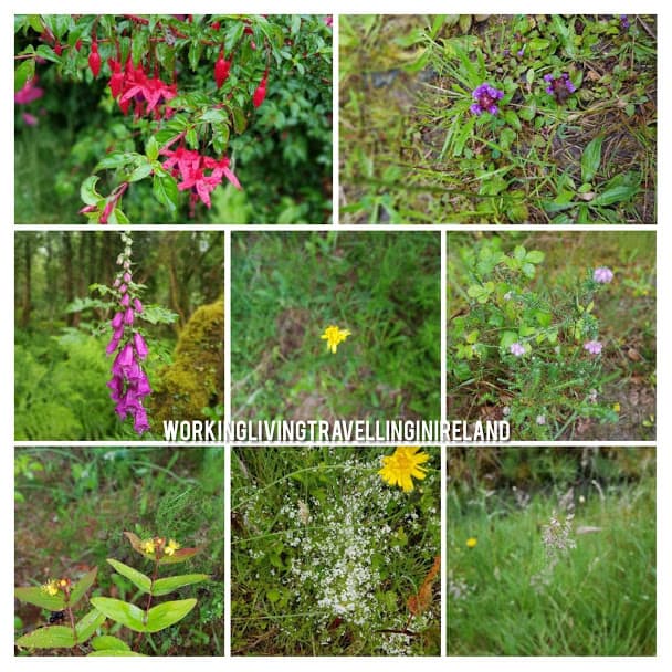
There are beautiful wildflowers throughout the walk and a many Tree Roots on the trail, just be mindful to slip. Lot’s of bridges to negotiate!
Tree Roots
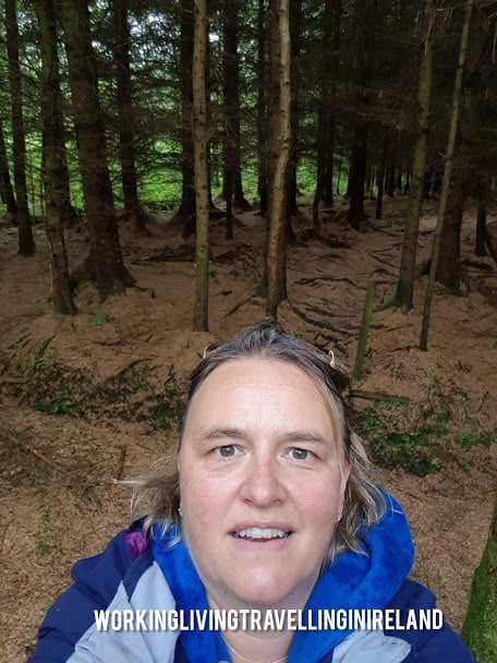
Me in the dead- looking forest
Wild Flowers
Lush Forest
Window with a view
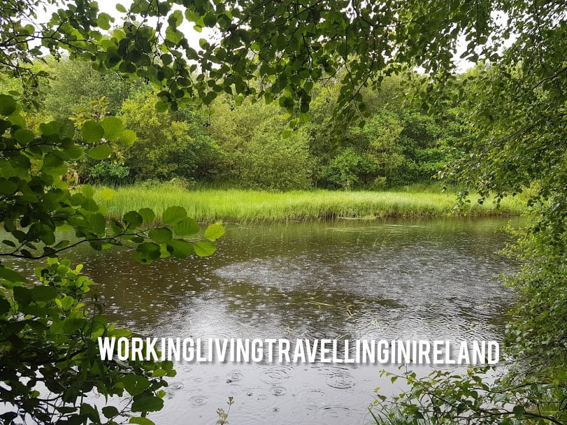
River Bleach
When to take a break on the Cahermurphy Looped Trail?
I’d recommend you have a break halfway and have something to eat and drink, as the second part of the walk is an upwards walk and you’ll need your energies to get to the top.
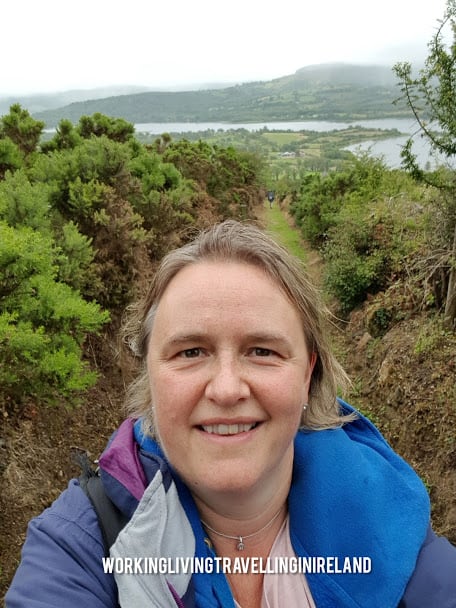
Yes, I won’t lie, I had to stop a few times to catch my breath, but my effort was well rewarded with a fabulous view over Lough Greaney!
I love the view for the descend and although it was cloudy, the view is beautiful. Once you are at the bottom, you take a right to go back into the direction of the lake, which takes a good half an hour to walk. At this stage, you will be tired, and I would recommend you have a break.
Somebody had walkers in mind, as we had tea and the rest of our lunch on a stone bench – the view was amazing, it was all worth it! Pity I forgot to take a picture of the bench, as it was very ornate with flowerpots on each side.
Having walked it ( and having struggled a bit with a climbing road for – I am guessing an hour- I wonder if I’d rather have a steep climb at the beginning of the walk when I am still full of energy, followed by a descend for the rest of the walk.
Second consideration to make is where to park. If you park at the lake it means you will need to walk back to the car towards the end of the walk, when you might be already very tired. If you park at the school, you have a good half an hour walk to the lake. When you are at the bottom of the descend, instead of taking right, you take a left and you will be at your car in no time.
I think next time I’ll park at the school, face a very steep climb and then have a descend for the remainder of the walk.
If there are walks you think I should walk, let me know, I am always looking for inspiration!
** Interesting fact – this is the most visited page on my blog**
Join my Facebook Group Gort Cycling Trails and let me know if you cycled this trail, what you thought about it, and if there are other cycle trails or walking Trails that should be mapped in the #burrenlowlands
Walking the Flaggy Shore
This time I headed out to nearby Co. Clare to walk on the Flaggy Shore. If you like what you read, please share or why not follow me on Facebook.
Looking for a walk to clear your head, walk the 10 000 steps you had committed to in your new years resolution? Check out the below walk or cycle at the Flaggy Shore in Co. Clare
We are just back from a walk at the very popular Flaggy Shore in Co. Clare., bordering Co. Galway.
How to to get to the Flaggy Shore ?
To get to the Flaggy Shore, you’ll drive on the well established Wild Atlantic Way, passing through picturesque Kinvara.
When we were driving through Kinvara there were road resurfacing works going on. It just made me realize the roads are pretty narrow, especially with the tour buses. Drive carefully( and on the left!!)
The Flaggy Shore is one side of a small peninsula that stretches from the village of New Quay to Finvarra Point, and is one of the most northerly parts of County Clare. Famous for its limestone pavements and fossils that are embedded in the rock, including sculptured rocks along the shore called ‘Biokarst’. Backdrop of rising undulating landscape of the Burren Hills. The shore itself is most beautiful but what makes the Flaggy Shore so distinctive is, wonderful the views to the west and north to Galway Bay and the mountains beyond.
It’s about an hour’s drive from Galway city, 90 minutes from Shannon airport and a 4 hour’s drive from Dublin. All I can say, it’s worth it!
It has been a while since we were here last, so it was great to see the new signs for the Wild Atlantic Way.
Wild Atlantic Way sign for the Flaggy Shore
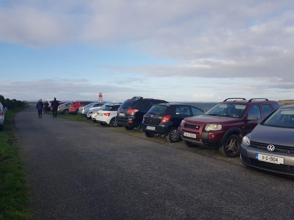
We definitely weren’t alone there either, the car park was packed with cars, and plenty of people walking, kids on bikes, roller skates, it reminded me of walking the promenade in Salthill, only difference was that we were in Co. Clare! I am guessing it’s very busy in the summer months! ( We were there early January!)
Car Park at the Flaggy ShoreLot’s of people walking!
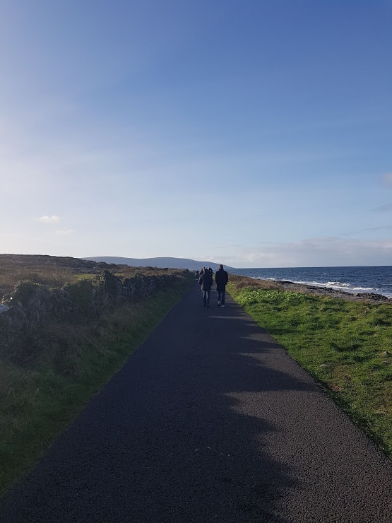
Here is a few images I took as we walked from the Cark Park to just past the lake. As you can see the weather was just amazing, and we truly enjoyed the views and the sea air. Its’s always pretty windy there, so we were very grateful we brought hats, gloves and a scarf to keep us warm!
The Beach at the Flaggy Shore, Co. Clare, West of IrelandView over the Beach at the Flaggy Shore
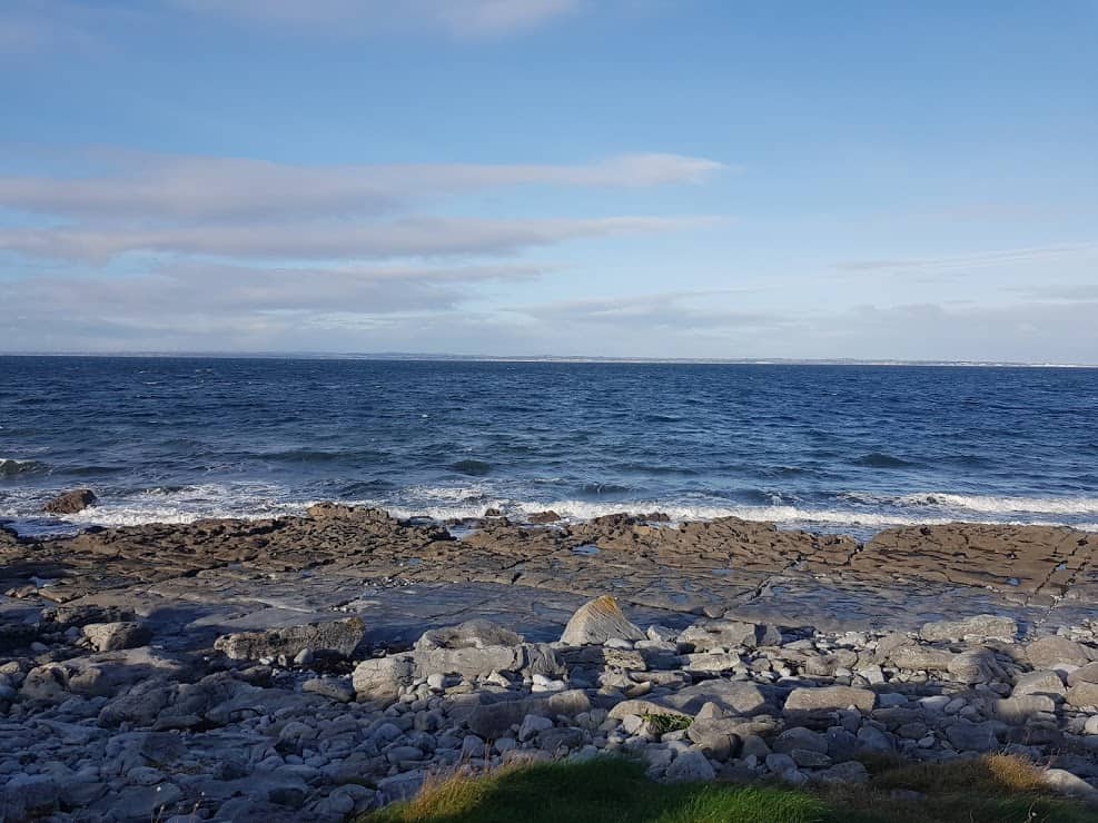
View over the Atlantic at the Flaggy shore. If only you could smell the fresh sea air!!
As we walked we a saw a sign for Linnalla Ice cream parlour. Unfortunately, we turned back just a little too early, and didn’t get to sample their famous ice cream. To wet your appetite, check out his video ! There is always next time:)
We walked for about 2,5 kms, and turned back just after the lake. There was also a house that looked like it may have been a schoolhouse in a previous life. The Martello Tower was in view. Next time we are bringing the bikes !
Can’t wait to go again, with the bikes, explore the Martello tower and of course sample the Linnala Icecream.
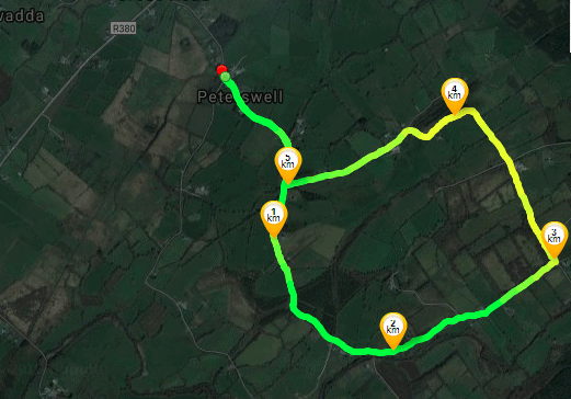
A few years ago, I took part in a charity walk called “ Run for Mary” in Peterswell. As it happens, I live in Peterswell, but had never really explored that side of Peterswell( the actual village). It was an amazing walk and as the charity walk is coming up soon( click here for more info) I thought I’d walk it again, without the crowds. I have called the walk Mary’s walk, in memory of Mary.
The walk is just under 6 Kms, and it took me 1 hour and 10 minutes to walk it. Regardless of the time of year, wear a high Viz Jacket. Bring some snacks/drinks in case you get hungry or thirsty. And yes, it’s a looped walk!
Join my Facebook Group Gort Cycling Trails and let me know if you cycled or walked any of the trails, what you thought about them, and if there are other cycle trails that should be mapped in the #burrenlowlands
For a full list of #SafeCycleTrails and maps I have mapped so far, click here
So where is this walk?
Make your way to Peterswell, off the main road between Loughrea and Gort.
Here is a little map of the walk. ( If you are Runtastic User, click here
Park your car at the Community Center and walk toward the church.
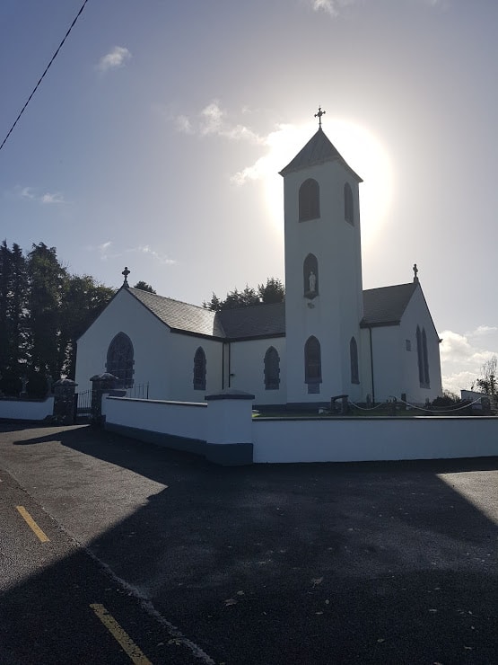
One you are the church, look back to get a view over Peterswell.
View over Peterswell Village
This is a country road, so just be mindful of traffic.
As your walk progresses, you’ll pass many fields, and enjoy views over the countryside.
Keep walking, the road veers to the left , don’t take the road over the bridge.
At this point you are in a very rural location! I loved the view with all the leaves on the ground.
The road comes to an end, take the left turn. As you walk on that road, it’s a bit hilly, you’ll see hedgerows on the left.
There is a beautiful view from the top of the hill:)
Keep walking till you come to the end of the road. Take a right, as you are now back on the road that leads you to Peterswell.
My last post covered a little treasure in Gort, which I aptly called Gort’s Mini-Greenway. As it happens, this Greenway also connects to Gort’s Golden Mile, making it a loop.. Yes… I think many of you will take note, as who doesn’t like a looped walk/cycle ( followed by cake I hear you ask?).
So where is this loop?
So you follow the instructions from last time here. Instead of turning left to head to Coole Park( for cake: ) ) you turn right, and head over the bridge.
Out of a practical point of view. I would recommend you first do the Mini-Greenway, as most of it is downhill. However If you are looking to strengthen your quads, best do it anti-clockwise. ( Did you know your quads are your strongest muscles ?)
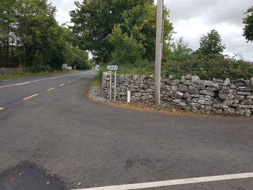
Once you come to the main road, cross it, and within a short distance you will see an arrow for the L85313 to your left
Arrow on the main Road
Arrow on the main RoadArrow for L85313
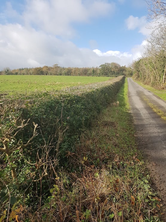
Take that turn and as you walk down the hill your view will be like this!
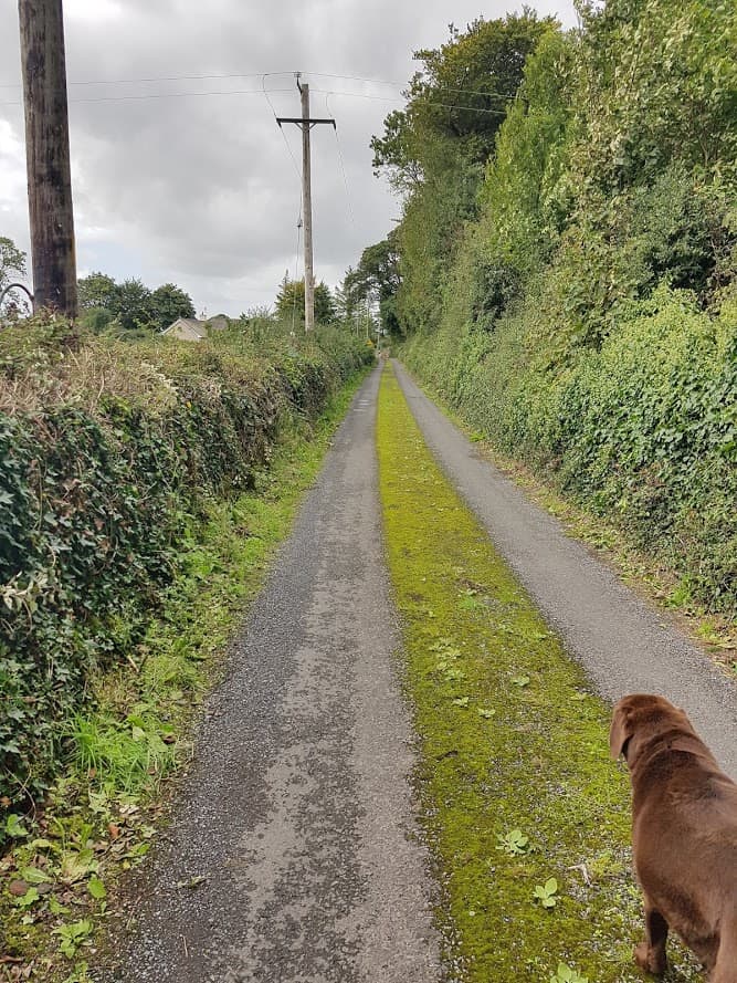
L85313 Road ( view as coming from Kinincha)
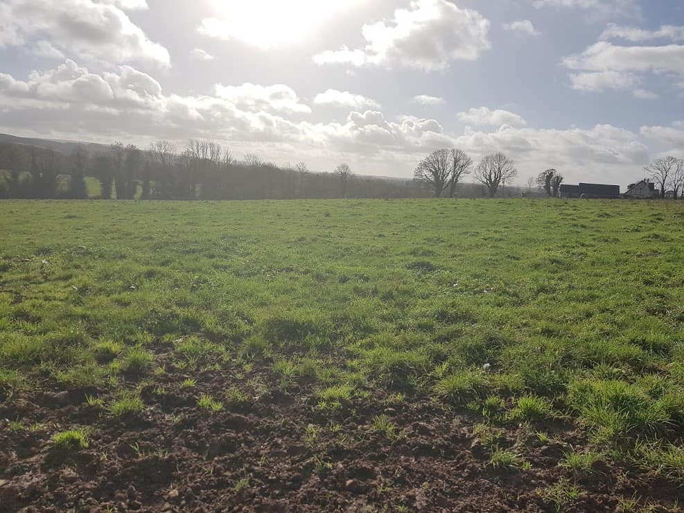
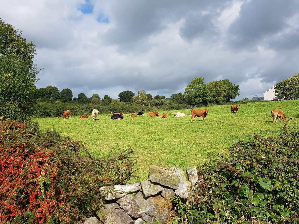
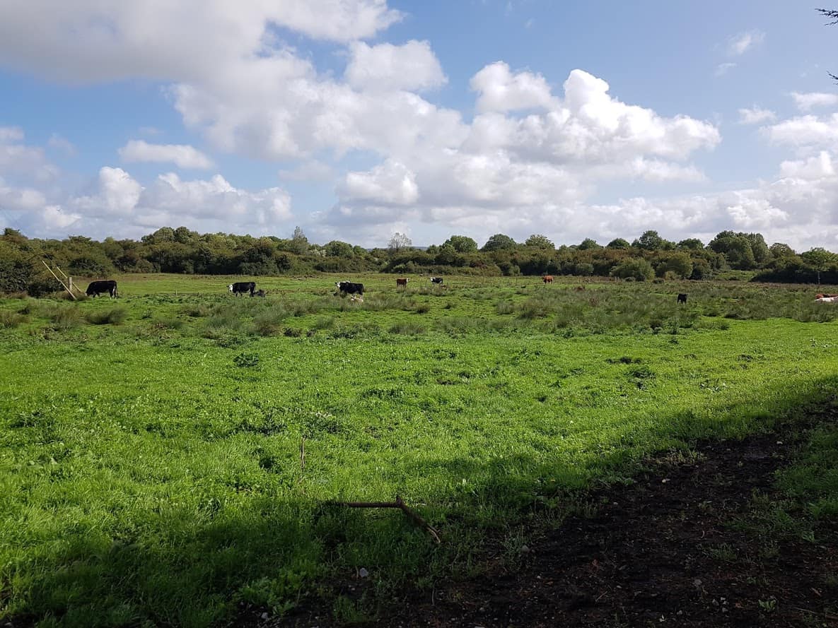
Grazing cows L85313
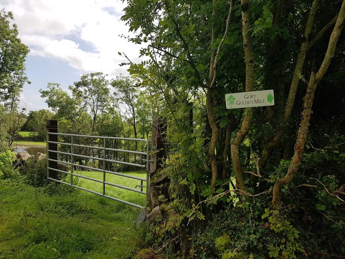
As you walk on this road, you will see a sign for Gort’s Golden Mile!
Gort’s Golden Mile & connection with the mini-greenway
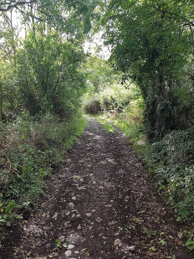
The road surface changes to a dirt track. If you were on bikes you could cycle, but dismounting your bike for a short while may work better. This track is about a mile and is beautiful as you can see from the pictures below.
Dirt TrackStone walls Gort’s Golden MileGort’s Golden MileGort’s Golden MileGort’s Golden Mile( view coming from Kinincha)Fields
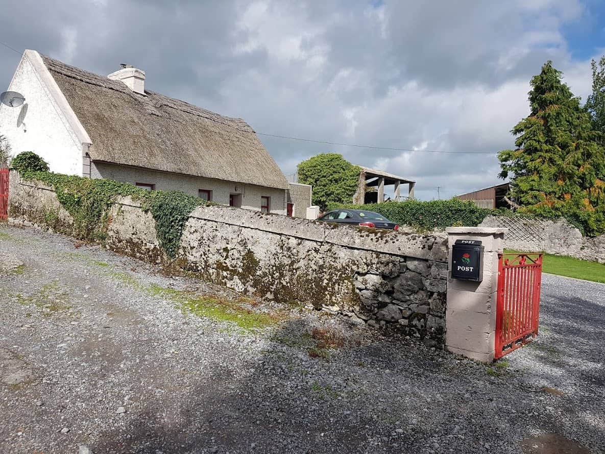
As your walk progress, you’ll come to the end of the road, with a beautiful thatched cottage on your left.
Thatched Cottage Kinincha Road
Stop for a moment and listen, you’ll hear the river flowing ahead of you. It’s currently NOT safe to descend to the river there, but there are (big) plans for a river walk in Gort.
Gort’s Golden Mile & the river in the back ground.
The only way to go is right, heading back to Gort, the river flowing to your left. This road is tarmacked.
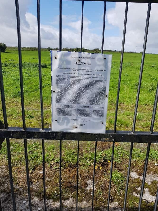
As you walk on that road, you will find the Planning application for a Gas Bio Plant on your right. To find out more about this Bio Plant, check out a very detailed article on why the location of the proposed site is not suitable.
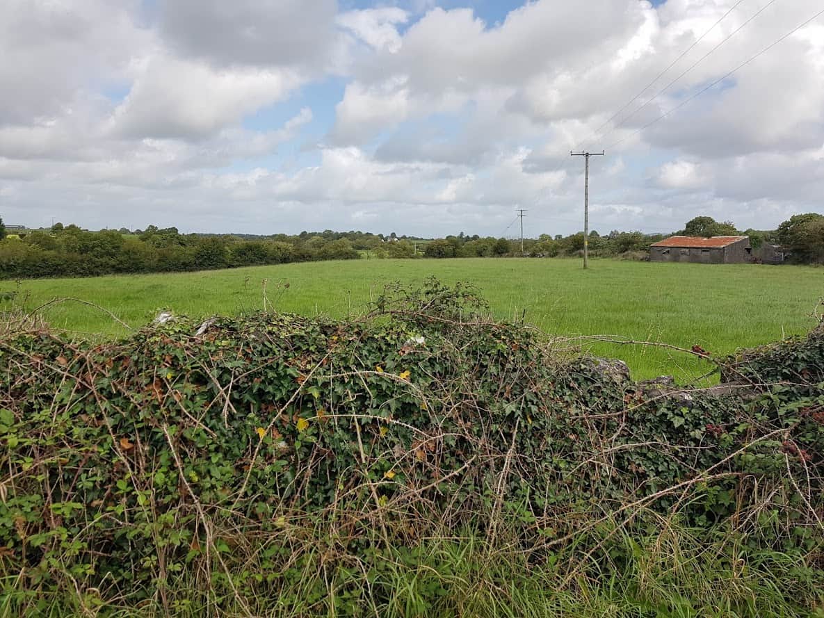
Site Notice Gort Bio Gas PlantProposed site for Bio Gas PlantProposed site for Bio Gas Plant
You’ll walk past access to farmland on your left, which , if you head that way, brings you to a fence .
If you venture past the fence, make sure you close it, as cattle/horses are kept there from time to time, so be careful. Once in the field, if you head straight, you will see/hear the river. I was there not so long ago during a weekly walk of the Kinincha Road and I was taken by its beauty as you can see from the pictures below.
Track leading to Farm Gate
Anyway, back to the Kinincha Road:)
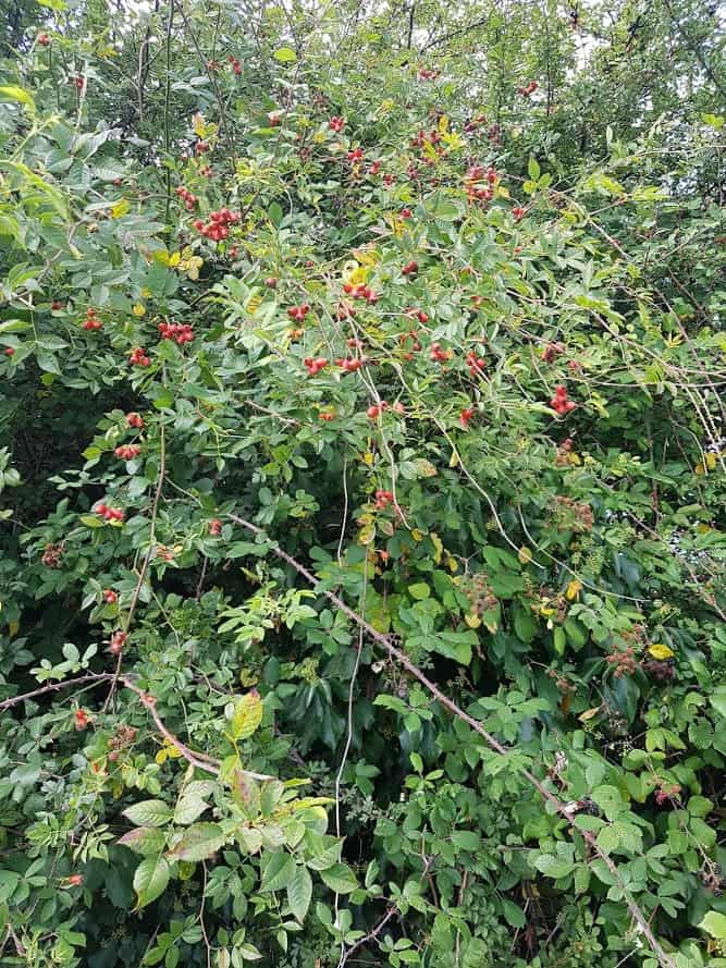
As I was doing the walk in September, there were blueberries, slow berries, Rosehip and so much more blooming, it was amazing.
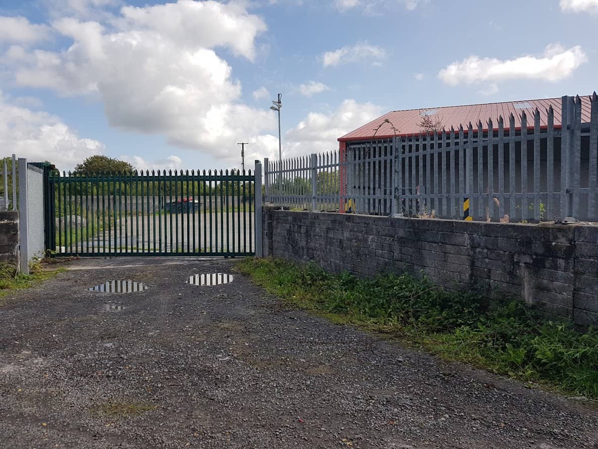
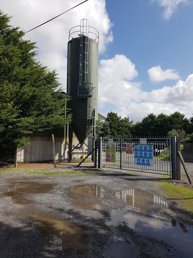
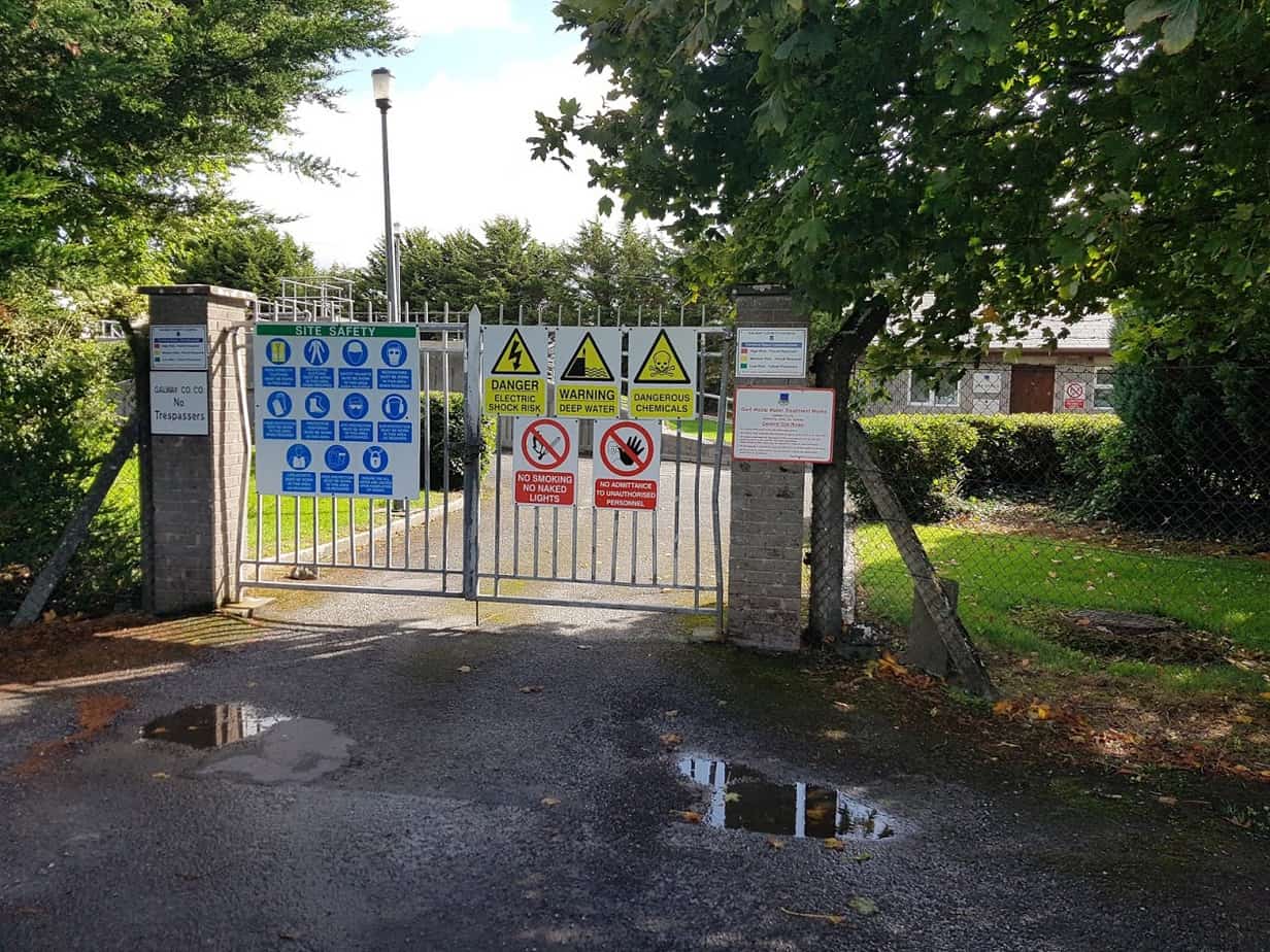
You will see a plant on the left which I am guessing is some kind of a depot for salt( or something else – I have no idea) and further down the Waste Water recycling plant.
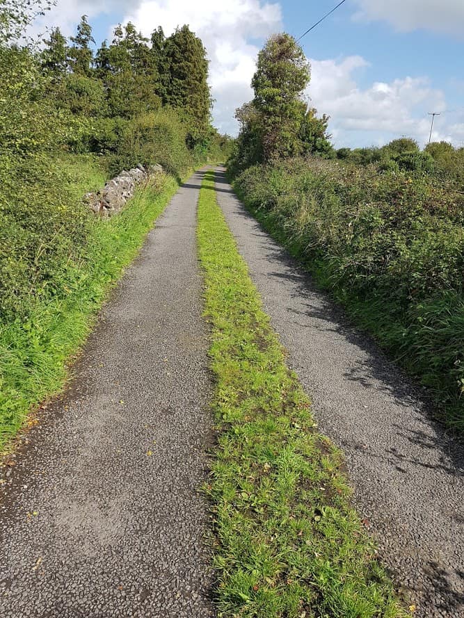
From then on, for a split moment, you are away from busy Gort and walking on a country road with country views!
Once you are the bottle banks, you are nearly back to where you started, the Lidl Car Park. Who knew:) You can then head into Gort for cake:)
You could also do a looped walk, starting at Lidl, go straight, take a left at the cottage, go straight, and when you come to the main road, take a left road( you are now on the old main road ) and head back to Gort( which is in fact the walk I did). I took some pictures on my way back to Gort, I particularly liked the horse that comes over to say hello:). If you do the looped walk, it’s another way of getting your 10 000 steps. The looped walk is just under 5 km.
Horse
As a side note, there is ( unfortunately) still a lot of dumping on the Kinincha Road, and I have passed on the pictures to the council. I am hopeful that, once the council installs proper CCTV, it will stop the dumping.
Did you know Gort has its very own greenway? A friend of mine mentioned there is a safe way to cycle from Gort to Coole Park. This was totally new to me, and until then I had never known about it. So I set out to find out. I have called it Gort’s mini-greenway! Greenways are ever so popular these days, so I am hoping the title of this blog post will trigger enough curiosity for people to explore it. It’s mini, as it’s not very long, but it IS there, ready to be explored. So where is this mini-greenway???
Join my Facebook Group Gort Cycling Trails and let me know if you cycled or walked any of the trails, what you thought about them, and if there are other cycle trails that should be mapped in the #burrenlowlands
For a full list of #SafeCycleTrails and maps I have mapped so far, click here
Start of our trip
We met up at the Supervalu’s Carpark in Gort ( hello Karen!!), so we could easily unload our bikes.
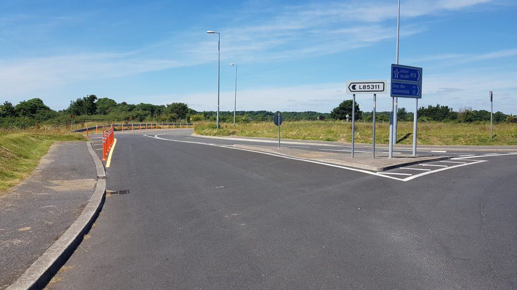
We then headed for the roundabout, taking the slip road L85311, which runs parallel with the motorway.
Taking the exit L85311
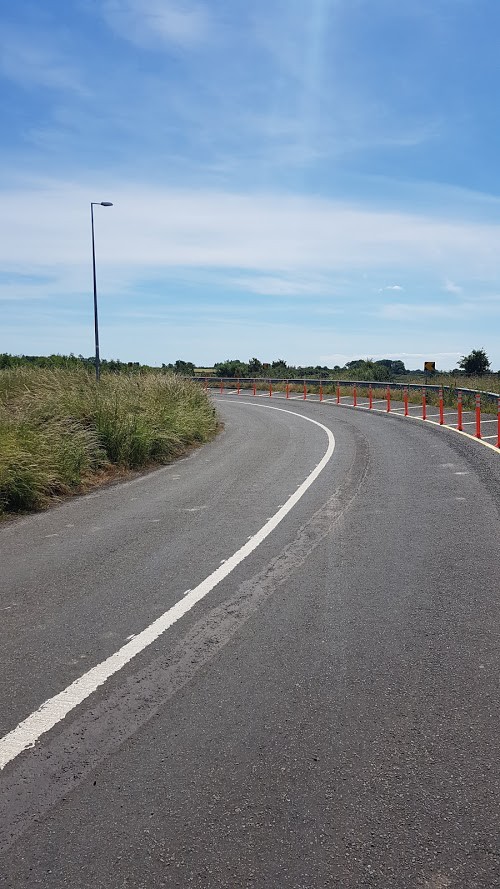
There is a bit of bend in the road, and a steep descent. You’ll feel your bike picking up speed!
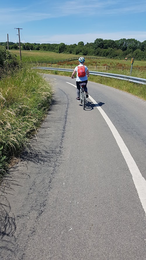
Karen going down the hill, the view is amazing.
The road then gets a bit bumpy The Road has been resurfaced since I wrote this article! The road is narrow and when you come to the end of the road, you take a right.. ( Taking a left isn’t really an option, as there is a fence).
As you take the right, you are on a gravel road, with fences on both sides.
Apart from a tractor, we didn’t come across any traffic.
At the end of the straight stretch, there is another bend, and then you come to a fork, you take a right.
As you cycle along you’ll pass a few houses and a ruin of an old house, it would be interesting to find out what this building once was. As you look at the ruin, you can see the bridge over the motorway to your right.
You are now on the road/avenue that leads to … Coole Park. You’ll see the new bridge over the motorway on your right.
Now all you need to do is cycle/walk to Coole Park. Head for the Tea rooms, I hear they are serving coffee/tea/cakes and lots of other goodies. Check out their Facebook page to their latest menu.
This Cycle/walk is just over 4 kms. from Gort to Coole Park.
Next time I’ll show you how this route connects with the Golden Mile in Gort…
Well, well, what I week, that’s all I can say! Unless you have been living under a rock( or maybe you live outside of Ireland and are not familiar with hurling), the all- Ireland Senior hurling championships took place last Sunday between Waterford and Galway and the Galway team won!!
It’s been 29 years since Galway won the Liam MacCarthy cup , so there was plenty of reason for celebrations in and around Galway. A homecoming for the Galway Seniors was organized, starting at Pearse Stadium in Galway City, then onto Clarinbridge, Loughrea and a final stop at St-Thomas’s pitch. St-Thomas’s GAA club is the home club of David Burke ( the captain), so it really was a homecoming.
As St-Thomas is so near to where I live, I went over to go and take a look. As you can see, I wasn’t alone! There was an amazing atmosphere, lot’s of people cheering and singing! When David Burke did his speech, you could hear a needle drop – to hear his speech go to 23 minutes into the video.
It was one of the first times I experimented with a Facebook live event on my page workinglivingtravellinginireland, and 150 tuned into the video. Very quickly the video had a reach of 2000 people. At this point in time it has been viewed by well over 7000 people and has had a reach of 16000. It really is amazing what you can do with a mobile phone!
The Great Western Motorway cycle on the M17/M18
Today was also the Great Western Motorway cycle, offering cyclists a one-off opportunity to cycle the soon-to-be-opened M17/M18 Motorway that will connect Gort to Tuam. I was here in 2010 when the Gort to Crusheen bypass opened. At the time I was working in Shannon, which took about an hour on a very windy road and dangerous bends( I am sure some of you will remember the very dangerous bend at Crusheen). After the opening, this journey became significantly easier and shorter, getting me to Shannon in less than 45 minutes. By 2015, Directroute started works on the long awaited Gort to Tuam Motorway with an expected finish date of early 2018. The new motorway is just over 50 kilometers long, and will offer much needed traffic congestion relief for travellers, bypassing the main bottleneck of Clarinbridge in South Galway and Claregalway in North Galway to get to Galway city and also connecting with the M6 to Dublin. Here is map of the new motorway.
Image of the Gort to Tuam Motorway from the http://www.directroutegorttotuam.ie website
It’s been very exciting to see the works progress, new bridges being built and watching some YouTube video made me realize that this was not an easy job, with the vast amounts of limestone that needed to get blasted. Here is just one of the videos I found on Youtube:
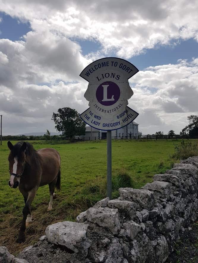
The Motorway is due to open ahead of schedule on the 27th of September! We went over to the Gort side of the cycle and spoke with some cyclists and the ladies of the Gort Lions club.
It was very windy ( and relatively dry), I can’t say the same of the weather later in the day. 17 more days to go, and the Motorway will officially open!